
 Polski
 English
 Slovenský
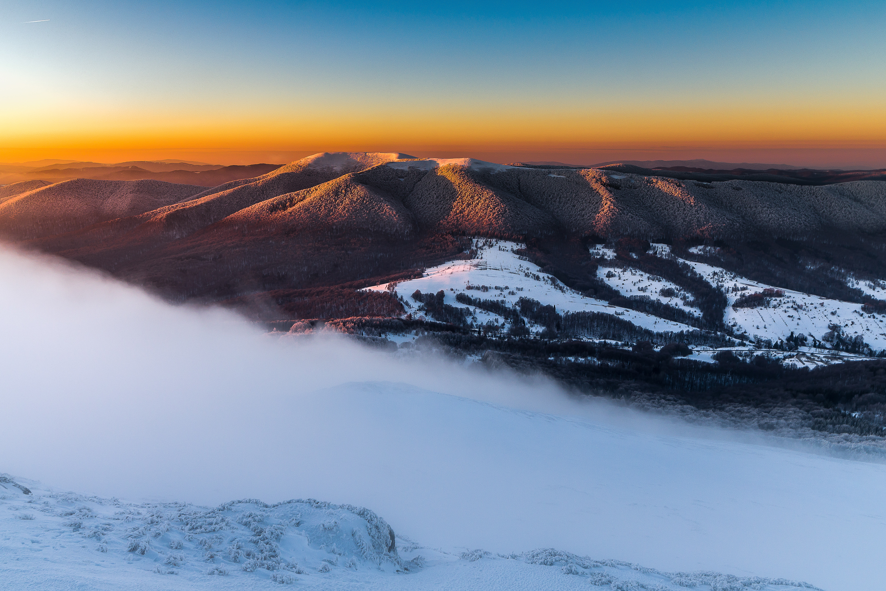
Mała Rawka is a peak with a height of 1272 m a. s. l., located near Ustrzyki Górne. Mała Rawka peak is an extension of the range and is also its highest culmination. North-east of the peak there is Wyżniańska Pass, which separates Rawka from Połonina Caryńska. A green trail leads from the Pass, with which you can reach the top within 1.5 hours. Along the trail there is also “Wielka Rawka" nature path, whose symbol is rowan. Walking from Bacówka near Mała Rawka towards the peak, the trail is very steep - at the upper border of the forest it is covered with a lot of rowans. South of Mała Rawka is Wielka Rawka (1304 m. a.s.l. ), which can be reached following the yellow trail. Both peaks are separated by a pass located high (1254 m. a.s.l. ), where is the highest placed forest in the Polish Bieszczady Mountains. The peak of Mała Rawka is covered with mountain pasture. From here is a wide panorama including the nearest peaks - Połonina Caryńska and Wetlińska, Wielka Rawka, Tarnica's nest, as well as panorama on peaks located on the Ukrainian and Slovakian side.
