
 Polski
 Deutsch
 Slovenský
Baranie's peak, according to Polish maps and studies, is 754 m high, the same mountain as Stavok according to the Slovak side is 752 m
altitude, which is explained by the difference in the levels of the reference point - the Baltic Sea for the Polish side and the Adriatic Sea on the Slovak side. For both sides, it is unquestionably the highest elevation of the Beskid Dukielski. As mentioned above, the peak attracted tourists with the prospect of magnificent panoramas from the observation tower, which is no longer there.
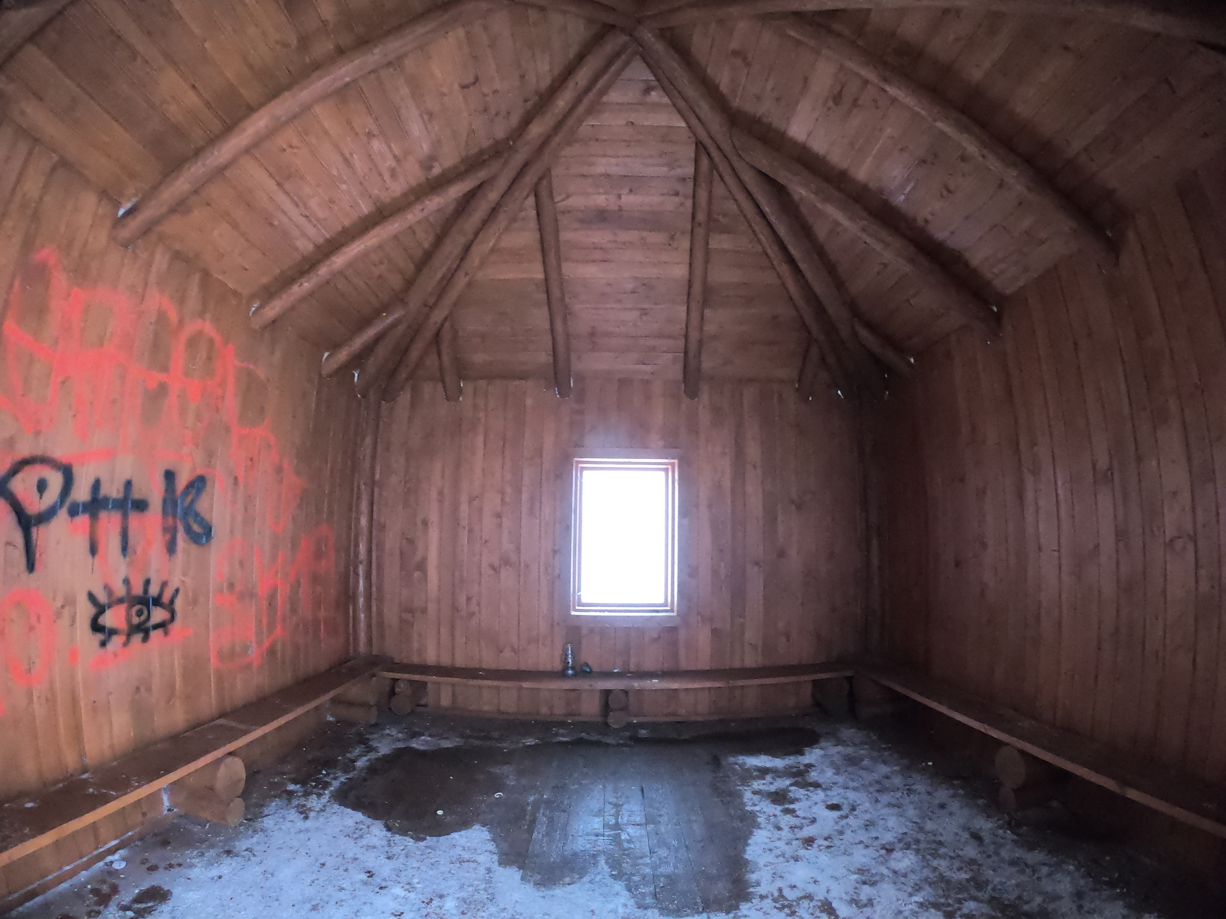
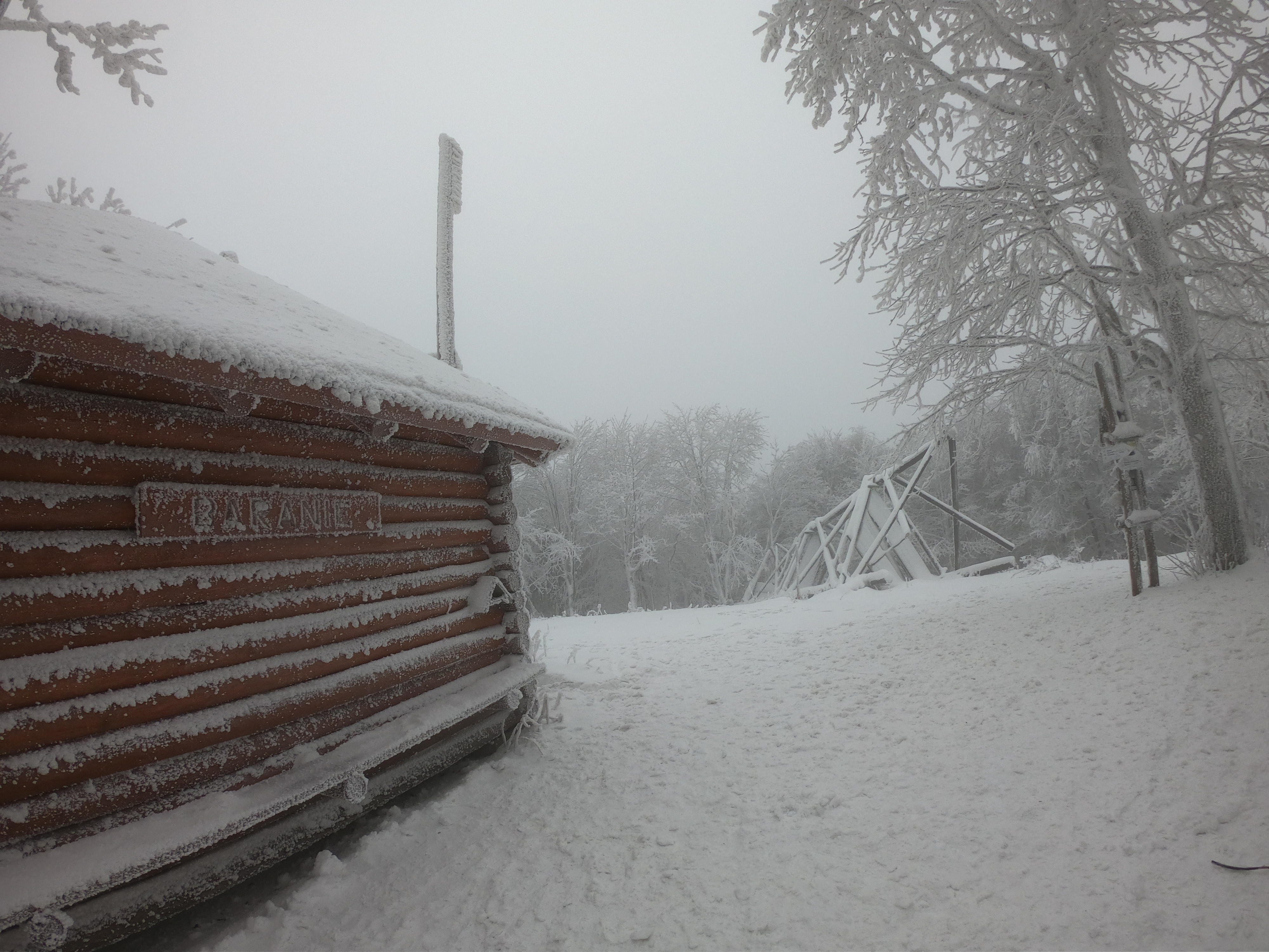
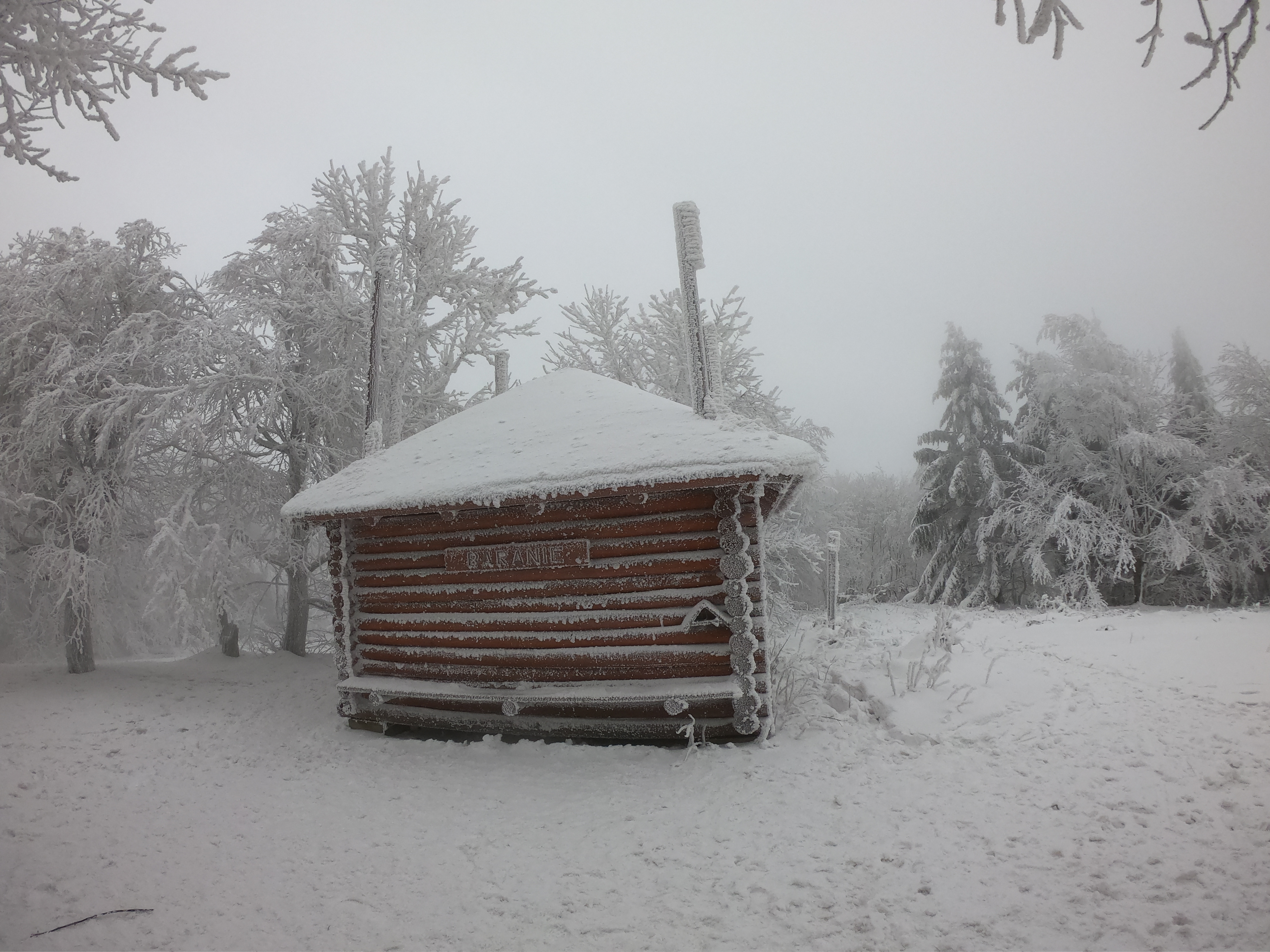
However, Baranie remains a vital junction of tourist routes. The blue border trail and the red Slovak trail run through the summit. The yellow trail from Tylawa to Wyżna Pisana in Slovakia and the green trail to the Skalne hill (715 m above sea level) in Slovakia also pass here. Since 2014, there is rain protection on the top, set up by the Magura National Park, and its architecture refers to the rural forest. It is made of wood, it is closed and has windows, so it is a perfect shelter in bad weather. It can accommodate about 10 people, for whom stylish benches have been prepared. There are also boards with maps.
