
 Polski
 Deutsch
 Slovenský
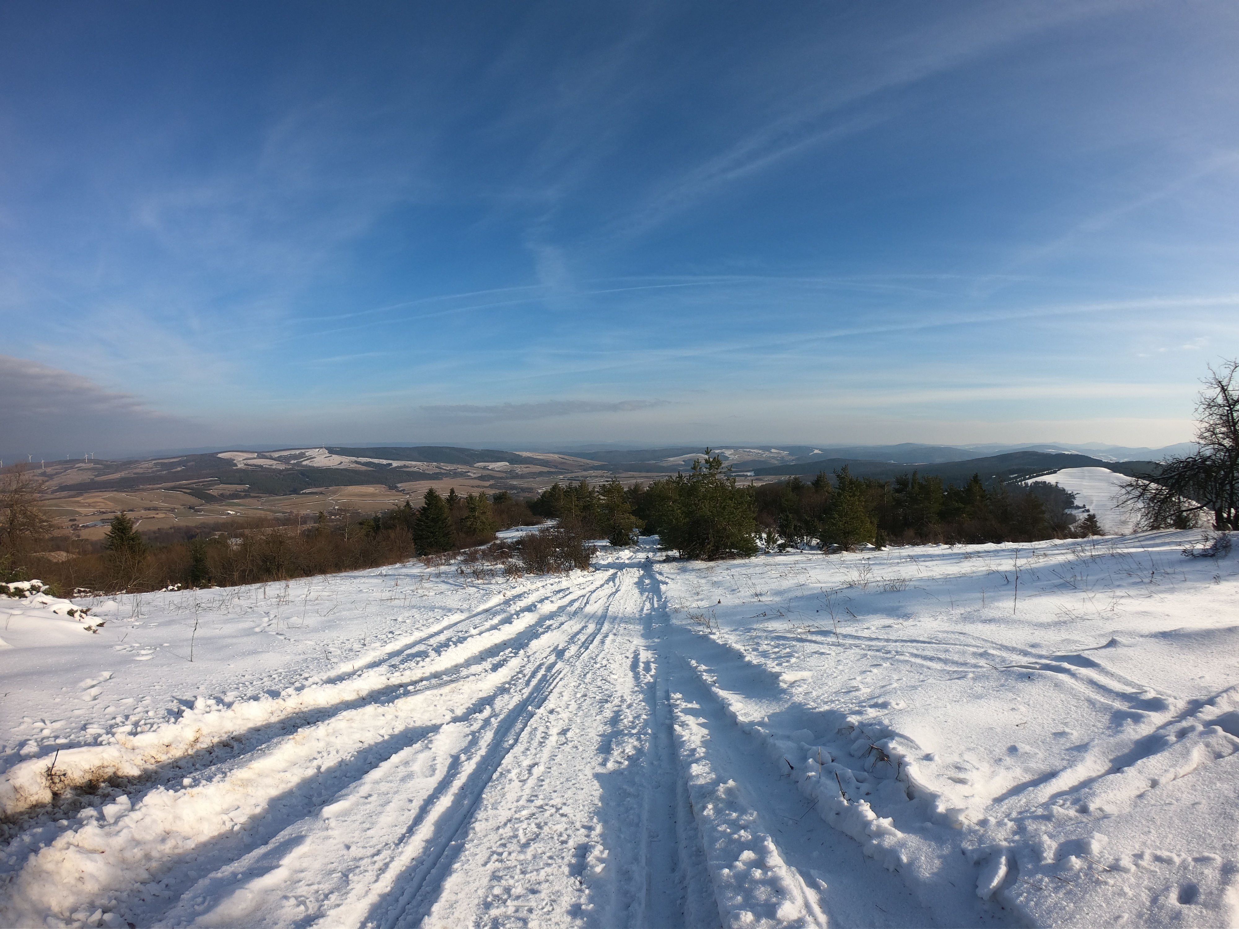
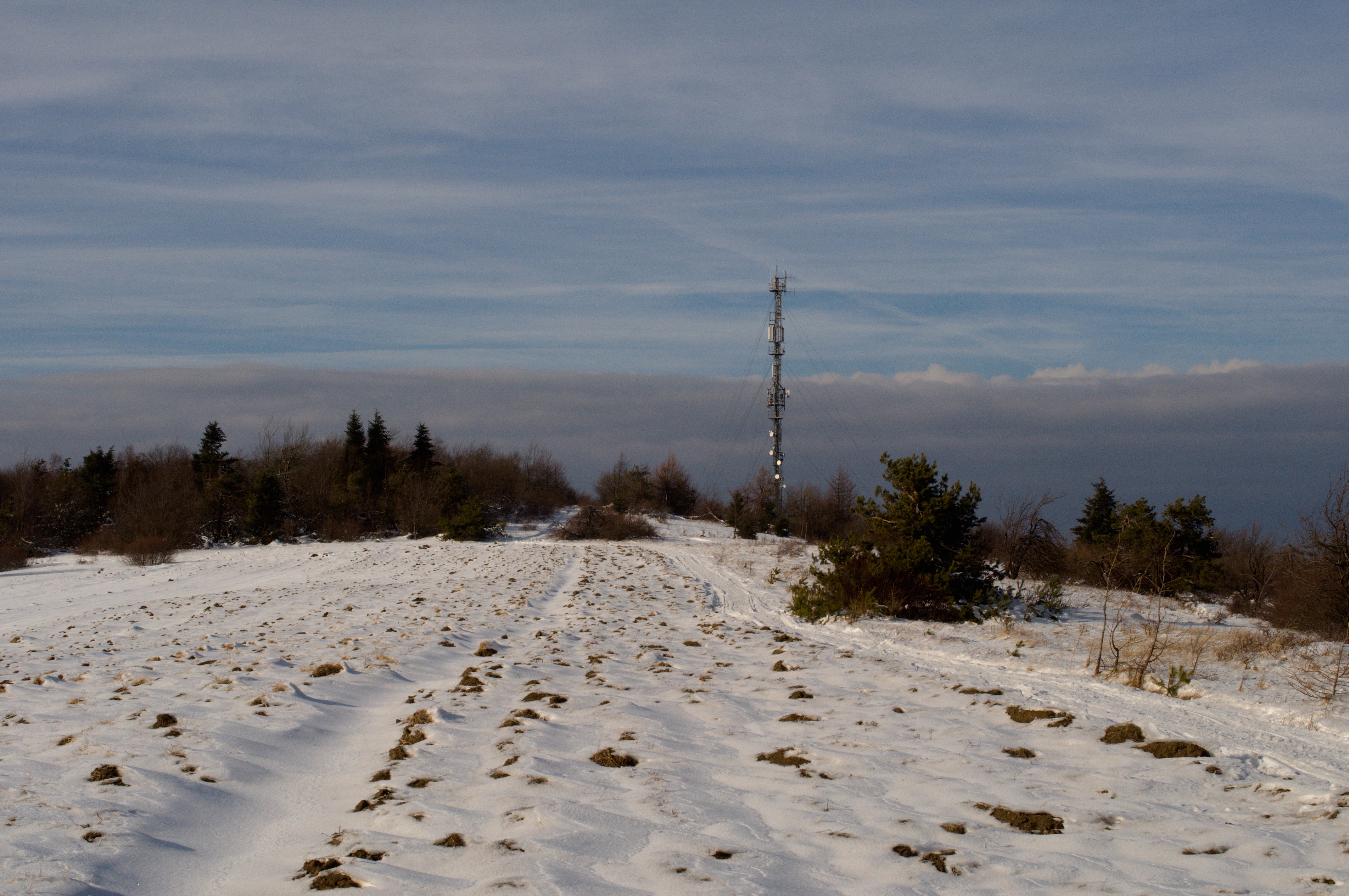
Tokarnia is a peak in the Bukowica Range in Beskid Niski 778 m height. It is also the highest peak of this range. It is situated in Karlików, Rymanów commune. The peak has got two culminations - a forested peak of 776 m, previously known as Wierch Mendla and the main peak with a mobile phone mast. The peak was originally called Magura, but later it was given the name Tokarnia, which related to a village nearby. During World War I and II it was a region of heavy fighting.
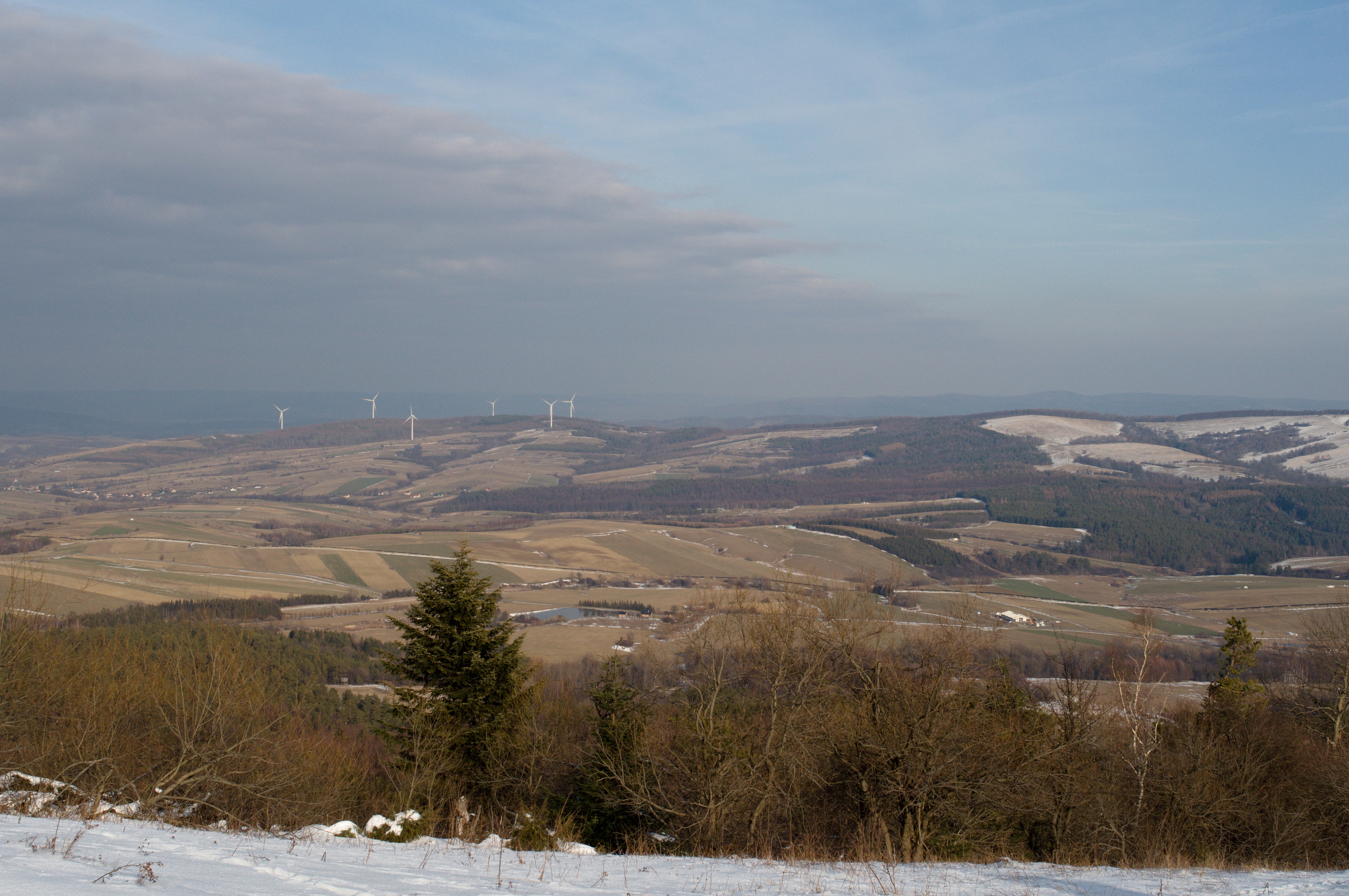
From the summit, in good weather conditions, one can enjoy a vast panorama. To the northon the Bukowskie Foothills, to the south-east on the Bieszczady Mountains and to the west on the Beskid Niski. In good visibility, you can also see the Tatra Mountains.
Through the peak the red main Beskids Trail runs, which can be used to get here from Puławy, Karlików, or through the yellow trail from Wola Piotrowa.
