
 Polski
 Deutsch
 Slovenský
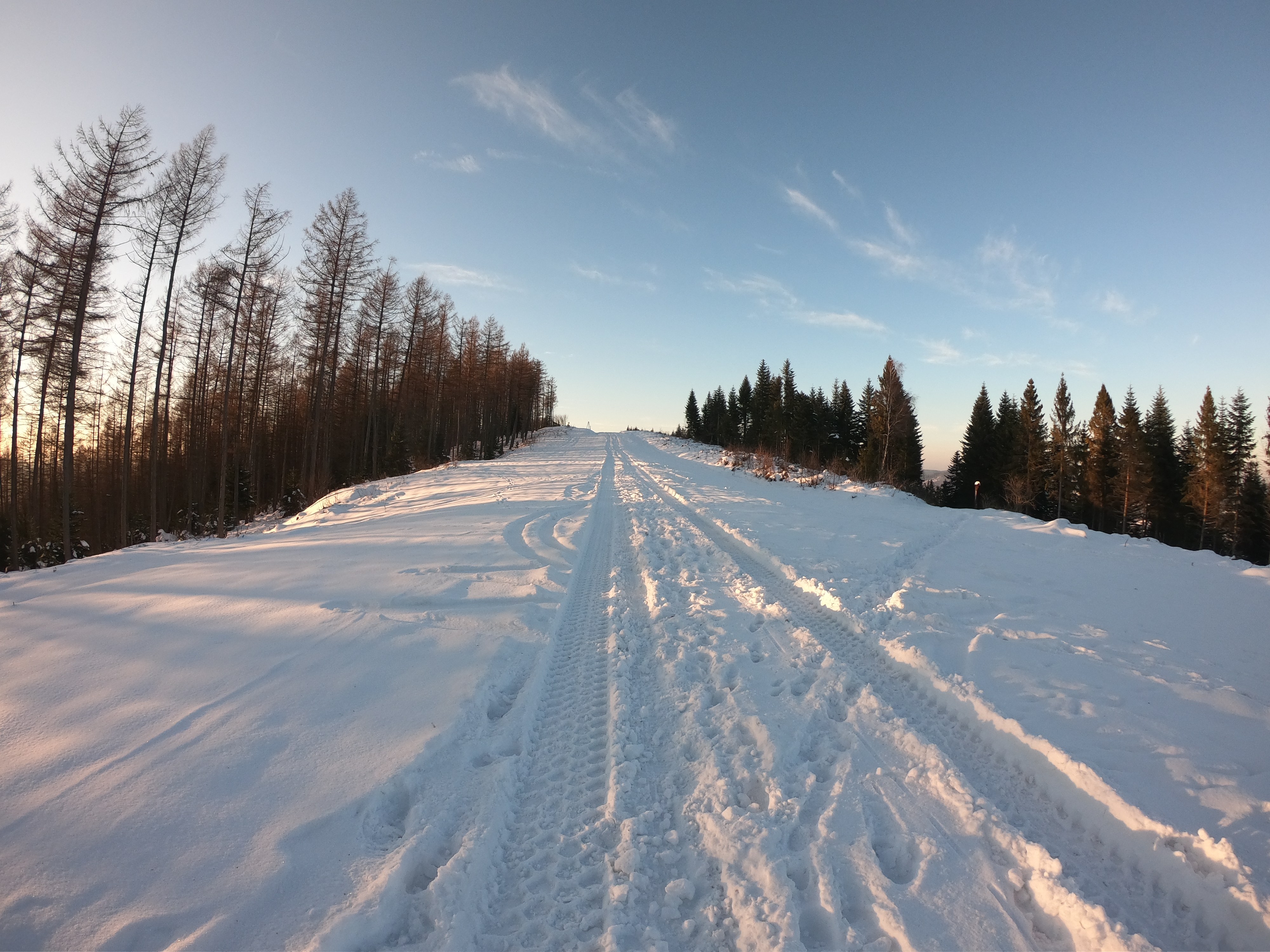
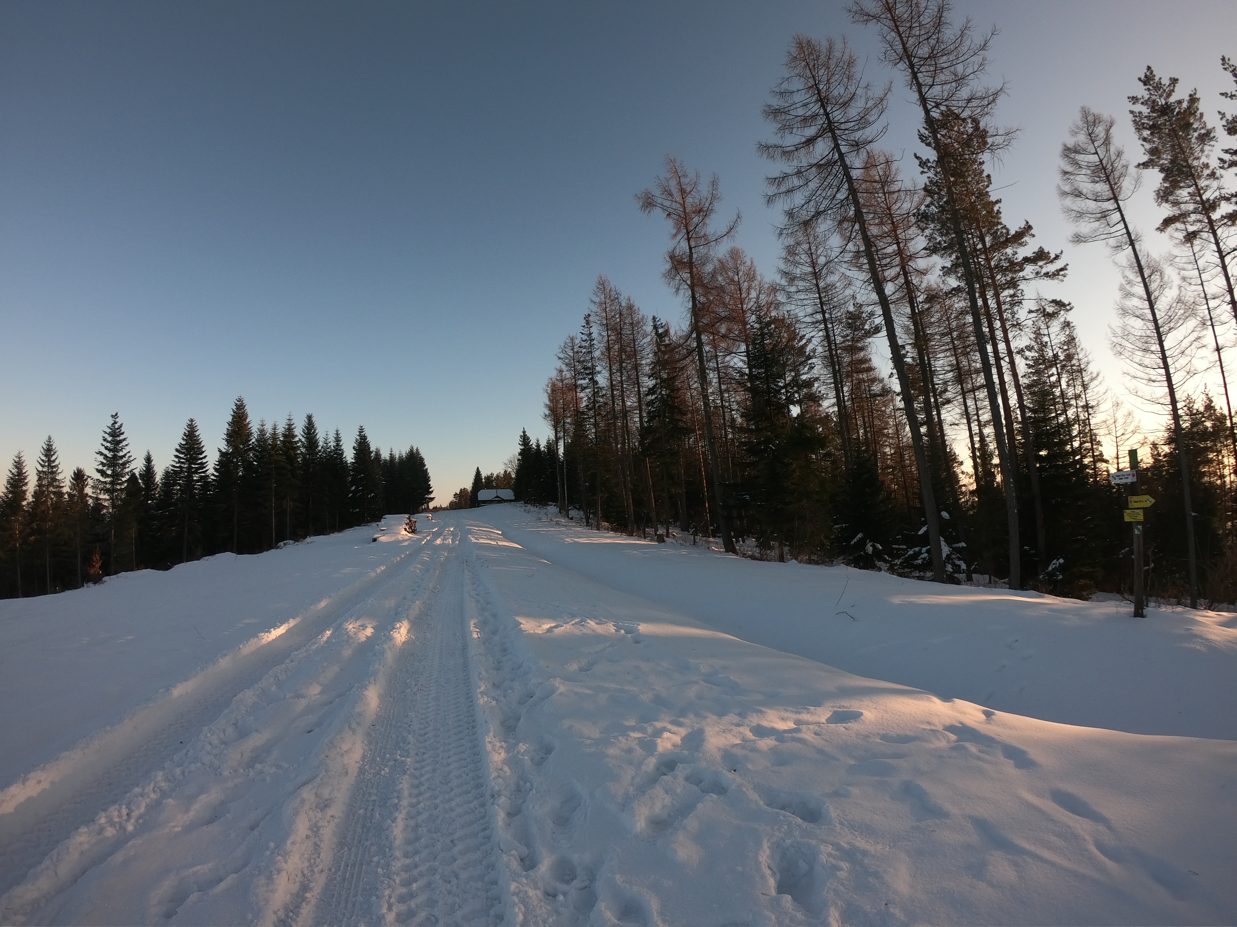
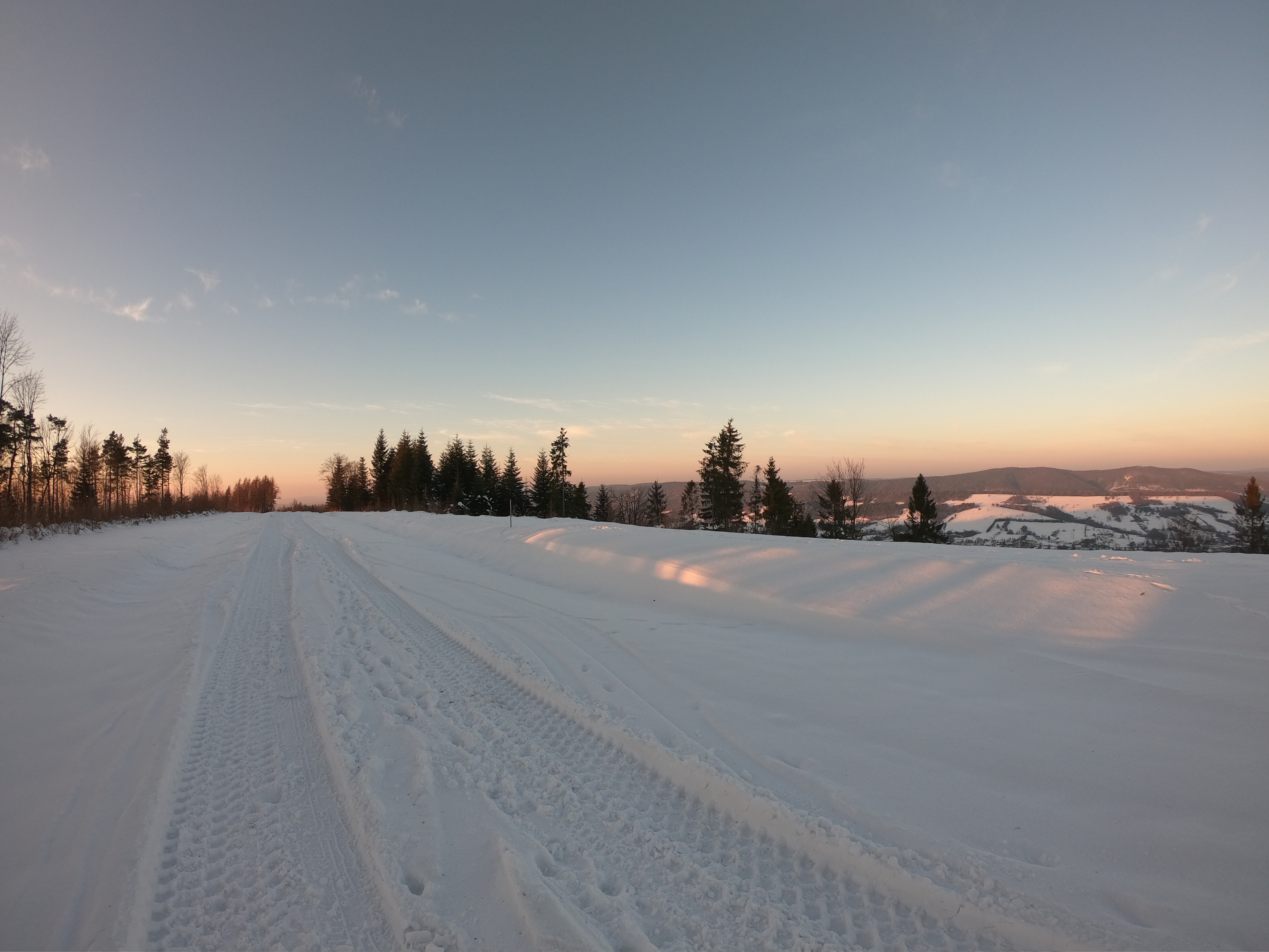
Żuków is about 25 km long mountain range, belonging to the Sanocko-Turczańskie Mountains. It stretches from Uherce Mineralne in the northwest to the Polish-Ukrainian border in the south-east and Bystre and Michniowiec villages. Magura Łomańska is its extension on the Ukrainian side. The Main Continental European Water Division, which separates the catchment area of the Baltic Sea and the Black Sea runs along the Żuków Range. The Strwiąż River, which flows through Ustrzyki Dolne belongs to the Black Sea. Since 1931 on the slopes of Żuków functioned a huge mountain glider place, well-known throughout Europe. Żuków Range and Dział Range as well as the surrounding villages of Ustianowa and Równia were developed in this regard. Then, these ranges were not forested. In parallel to the glider place there was a Military Training Camp, where courses were held, among others, for Dęblin school students. After the outbreak of the World War II, this area was occupied by Germans, the infrastructure was destroyed and gliders exported. To this day, fragments of the wall bases at the viewpoint next to Holica have survived.
The blue border trail and walking paths marked by the Ustrzyki Dolne Forest Inspectorate passes through Żuków range.
