
 Polski
 Deutsch
 Slovenský
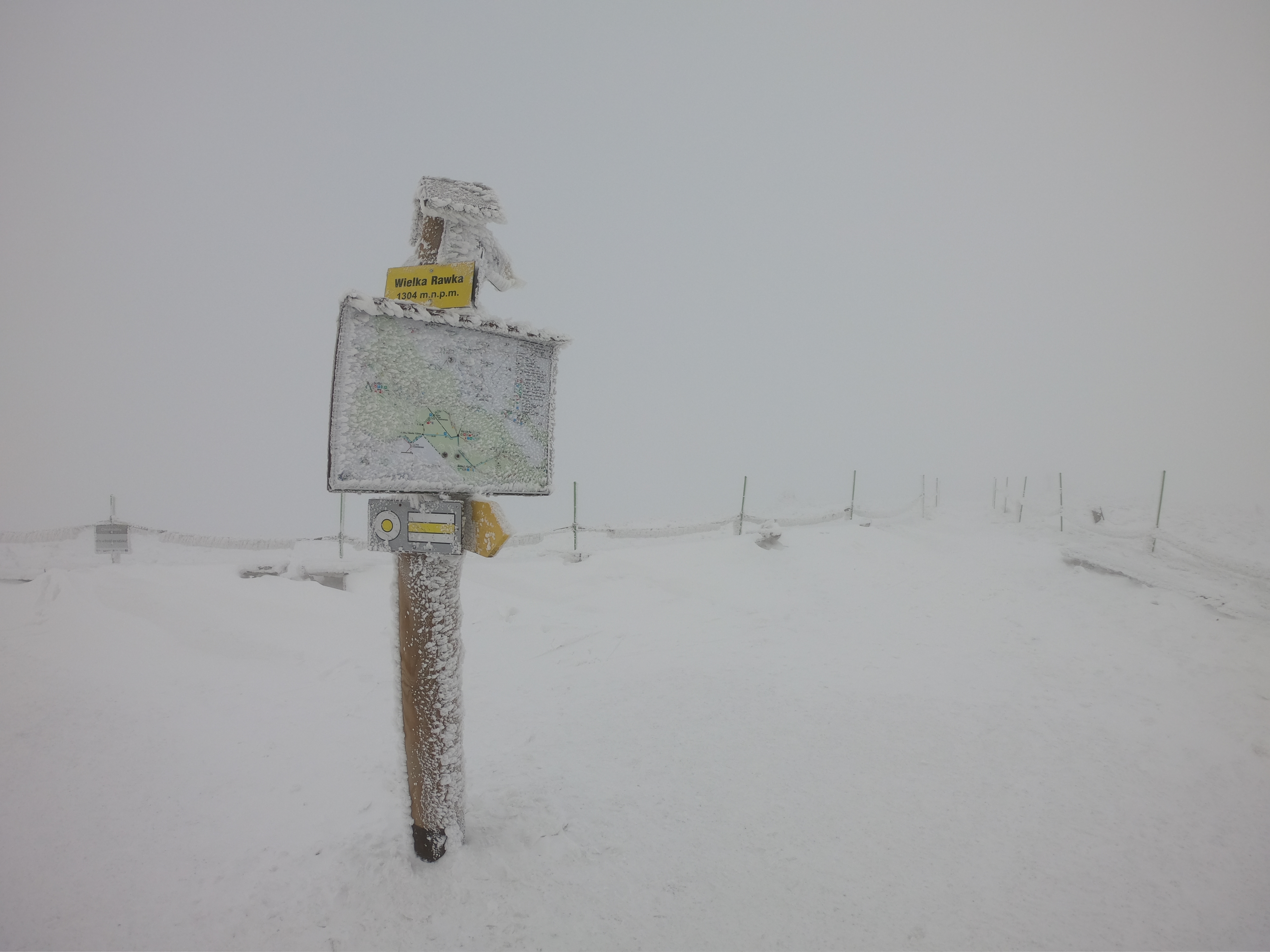
Wielka Rawka the highest peak of the border band in the Western Bieszczady, it has a height of 1307 m a.s.l. (maps also often indicate a height of 1304 m. a.s.l. ) and at the same time it is the only peak that is not in the Tarnica’s Range and has a height above 1300 m. The peak dome is fairly even and extensive, so it is difficult to see where the right peak is situated, which is a sandstone outcrop located approximately in the middle of the massif. The north-eastern slopes of Rawka are steep, in winter huge snow overhangs often form here and avalanches descend.
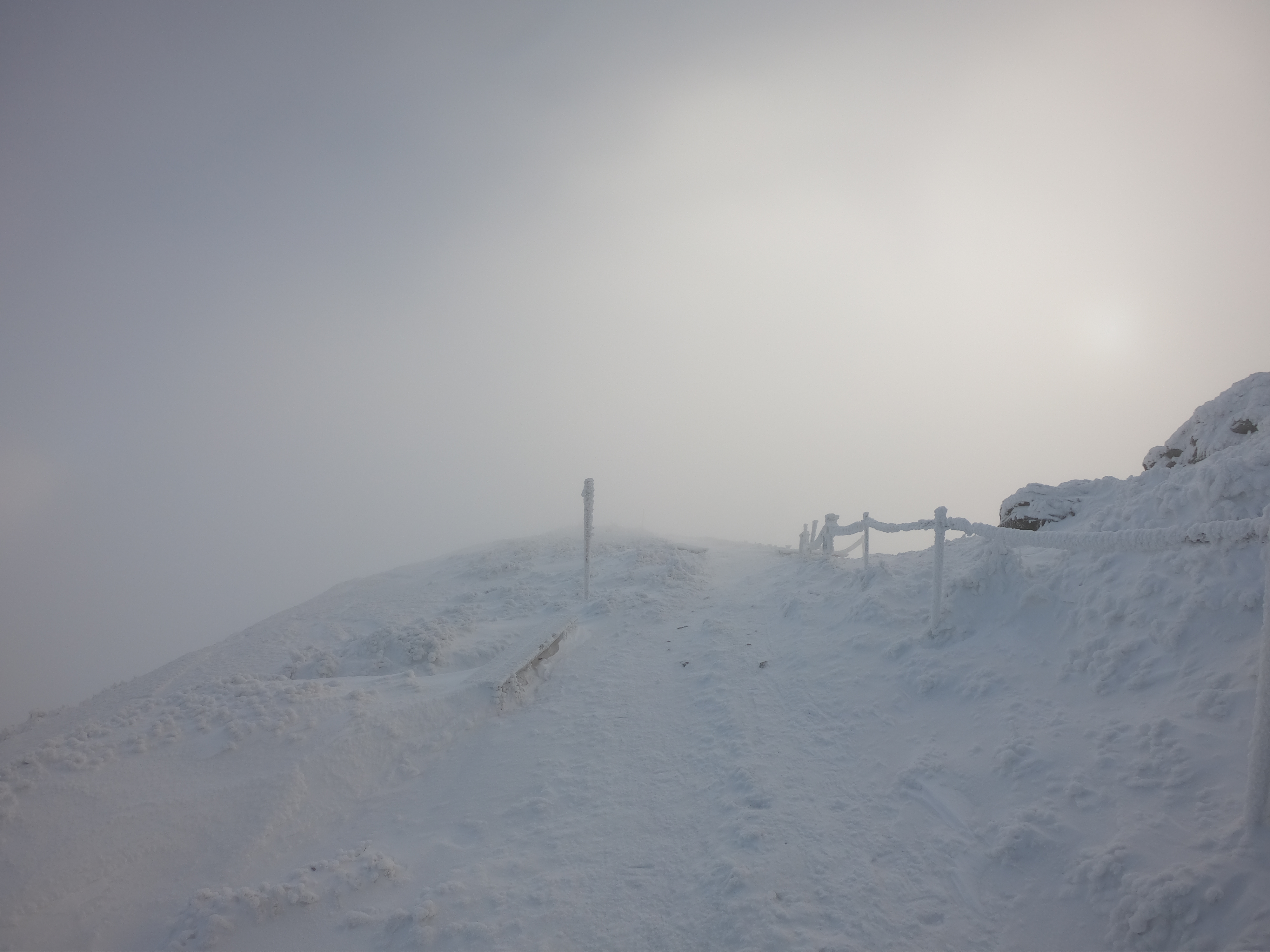
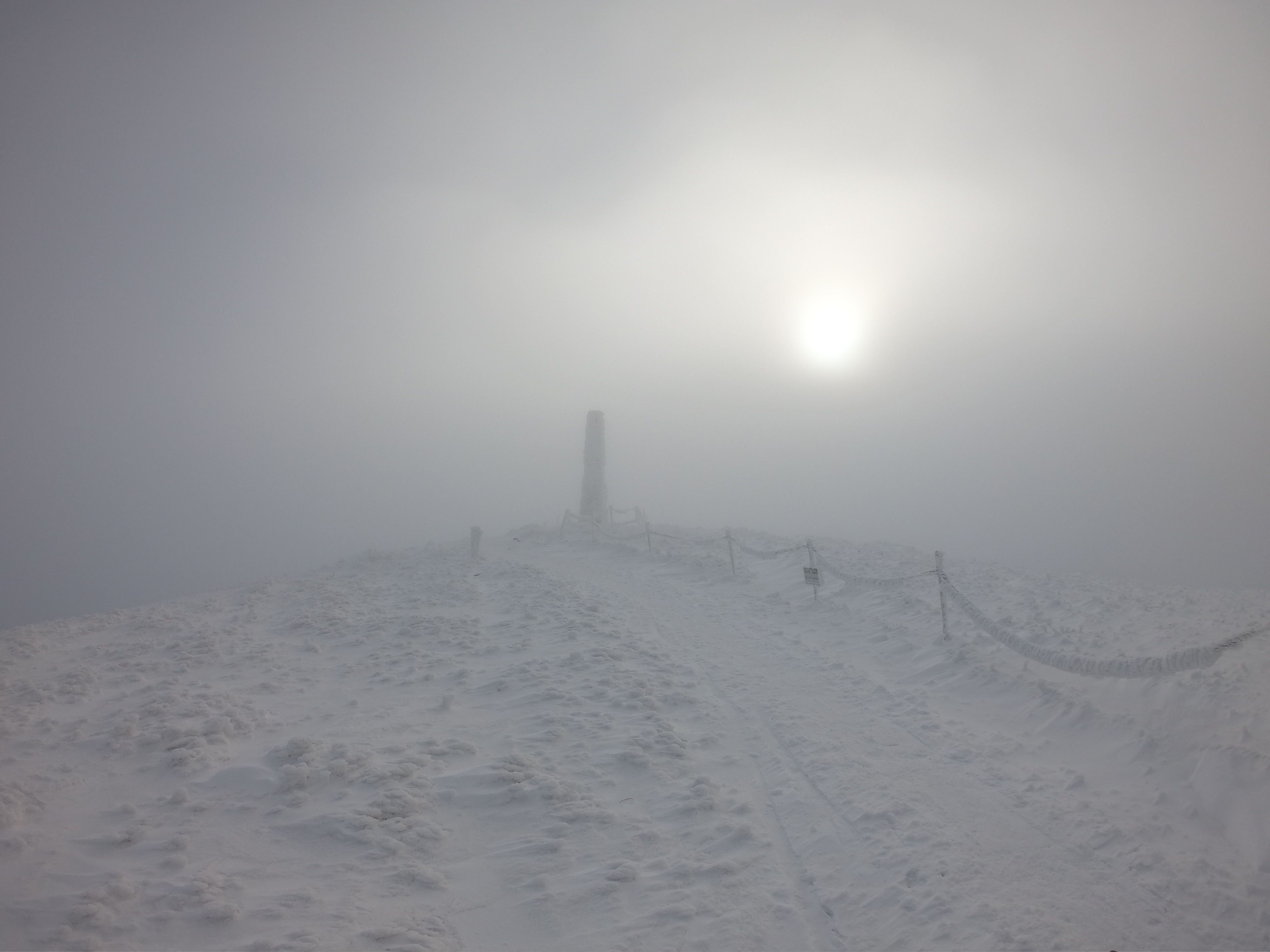
A characteristic concrete pole stands not far from the highest culmination of Rawka - the Austrian authorities built a wooden triangulation tower here, but only this pole has survived to the present day.
There is a very wide panorama from Rawka. One can see the entire Połonina Caryńska, Wetlinska, Tarnica's nest as well as the mountains in the Ukrainian side with Pikuje and Ostra Hora at the front, as well as on the Slovakian side with the characteristic silhouette of Wyhorlat Range. A blue border trail runs through Wielka Rawka.
