
 Polski
 Deutsch
 Slovenský
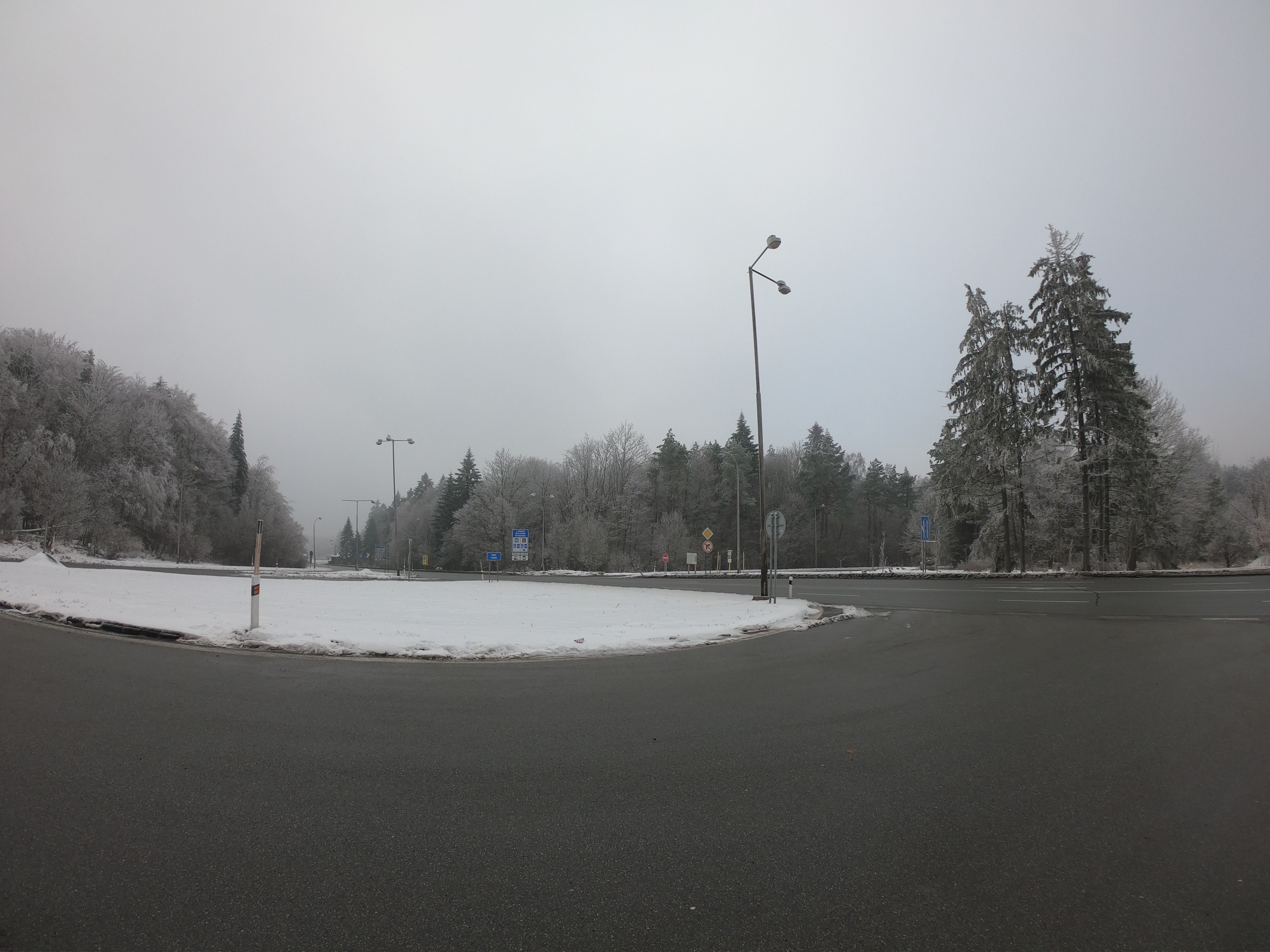
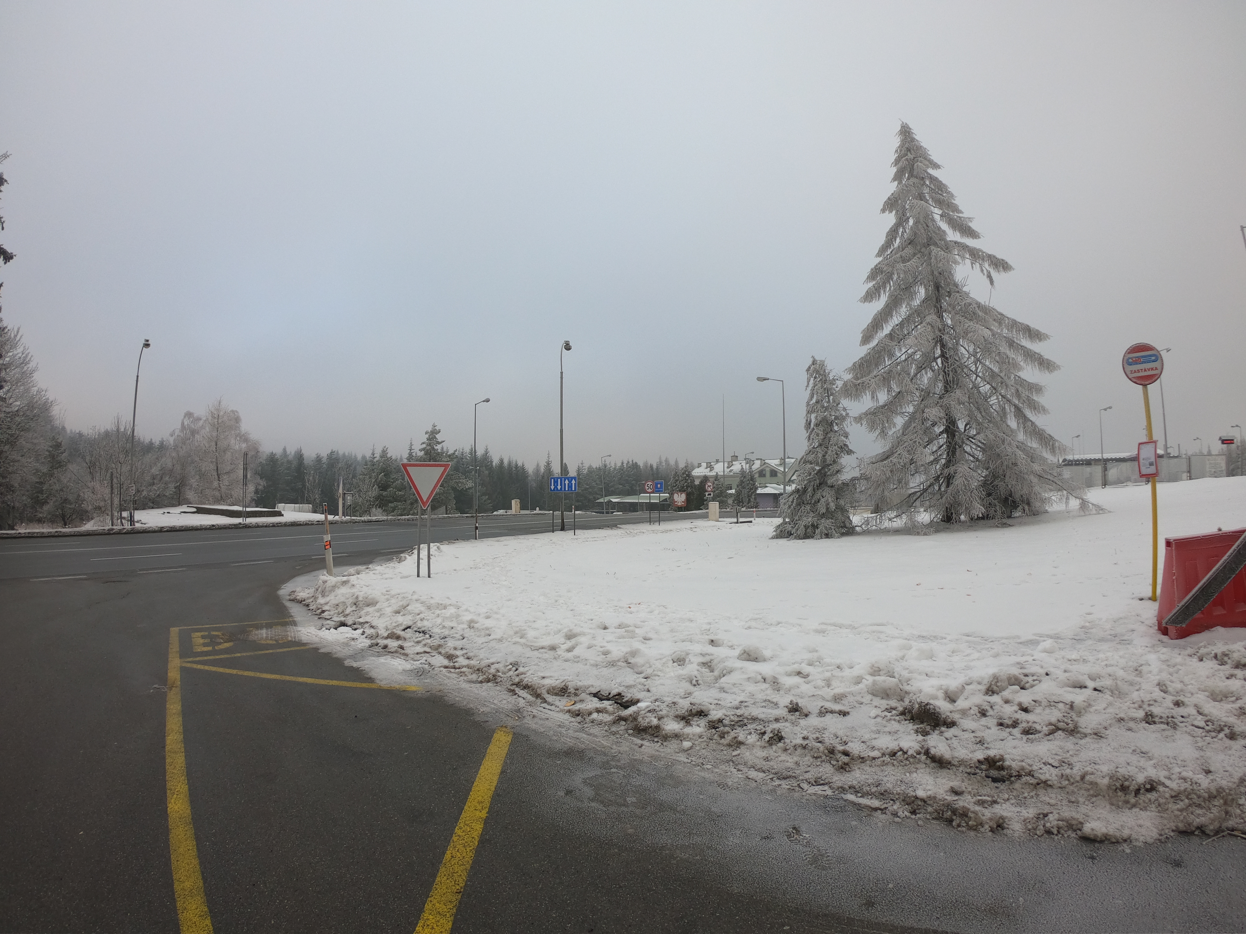
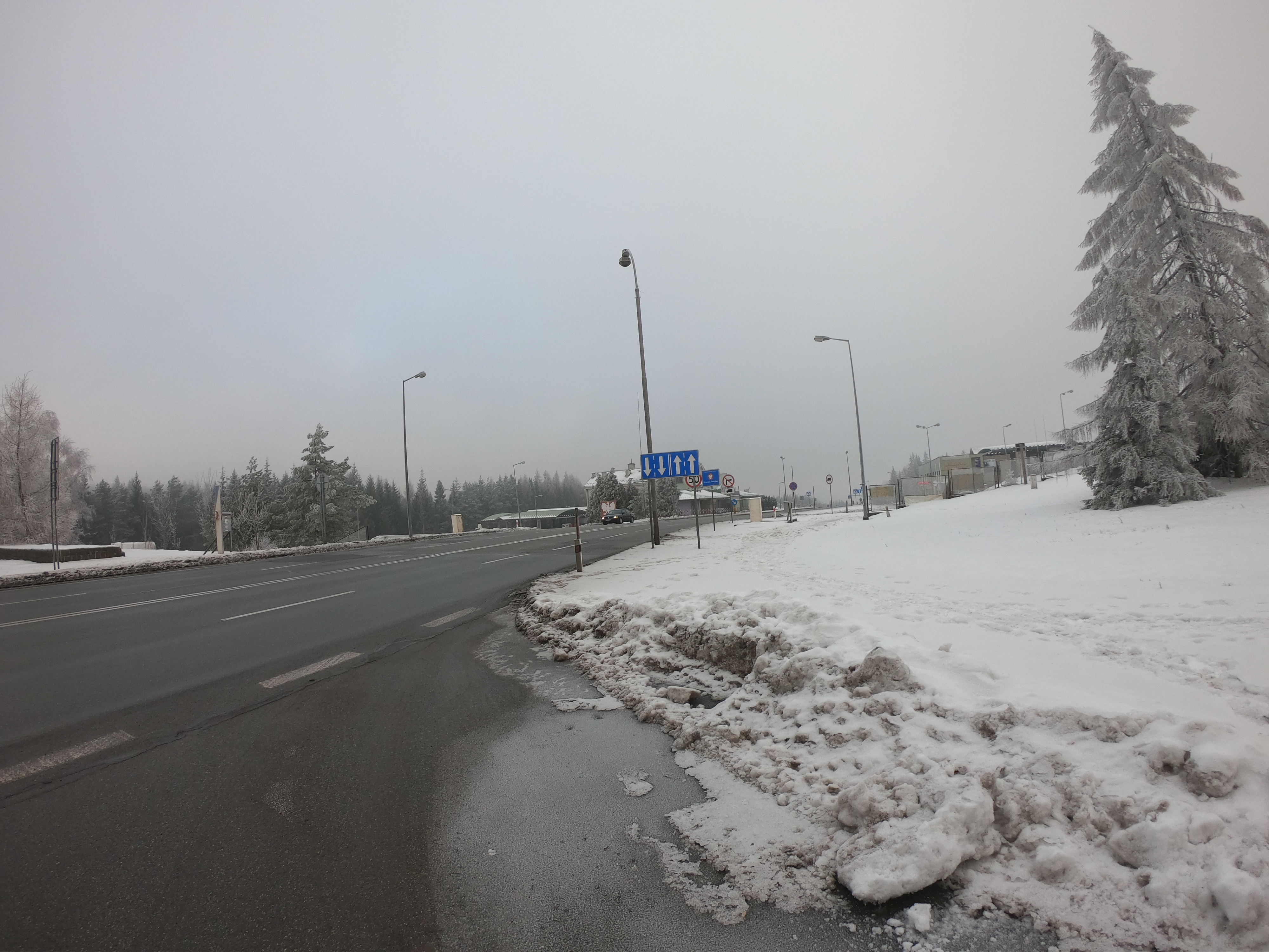
The Dukla Pass is located in the central part of the Beskid Niski, between the settlements of Barwinek on the Polish side and Vyšný Komárnik on the Slovak side. Until 2007, there was a 24-hour border crossing. Lying at an altitude of 500 meters above sea level is the lowest pass in the entire main ridge of the Carpathians.
No wonder then that since the dawn of history, it has been a critical point connecting the northern and southern side of the Carpathians, through which a trade route led. From the beginning of the nineteenth century, there was a paved road of no less than economic, military importance.
It was here that the greatest mountain battle of World War II took place, called the Carpatho-Dukla operation, which is documented, among others, by an exhibition at the Dukla museum and a monument on the pass itself on the Slovak side of the border. In Slovakia, there are also monuments arranged with tanks in the so-called Death Valley, arousing the great interest of tourists and commemorating the tank battle fought here.
The struggles of the Carpatho-Dukla operation lasted for the three autumn months of 1944 and cost the lives of around 200,000 soldiers of both fighting sides - both the Germans and Hungarians defending themselves here and the attacking Soviet troops, supported by the Slovaks. The operation's objectives were not achieved, which resulted in the collapse of the Slovak uprising, which was to be helped by the Soviet-Czechoslovak forces. Soviet losses are estimated at 100-125 thousand killed, wounded, and missing, Czechs and Slovaks at 6,000, and Germans and Hungarians at around 70,000.
The blue border trail runs through the Dukla Pass.
