
 Polski
 Deutsch
 Slovenský
Wisłok is the second largest river after the San River flowing through the south-eastern part of Poland. It flows out at an altitude of 770 m in Beskid Niski, from the slopes of Wielki Bukowiec - the peak in the border range. It is the left tributary of the San River; it is 220 km long and its basin is 3528 km². Initially, it flows through the Bukowskie Foothills, then Doły Jasielsko - Sanockie and Sandomierz Basin.
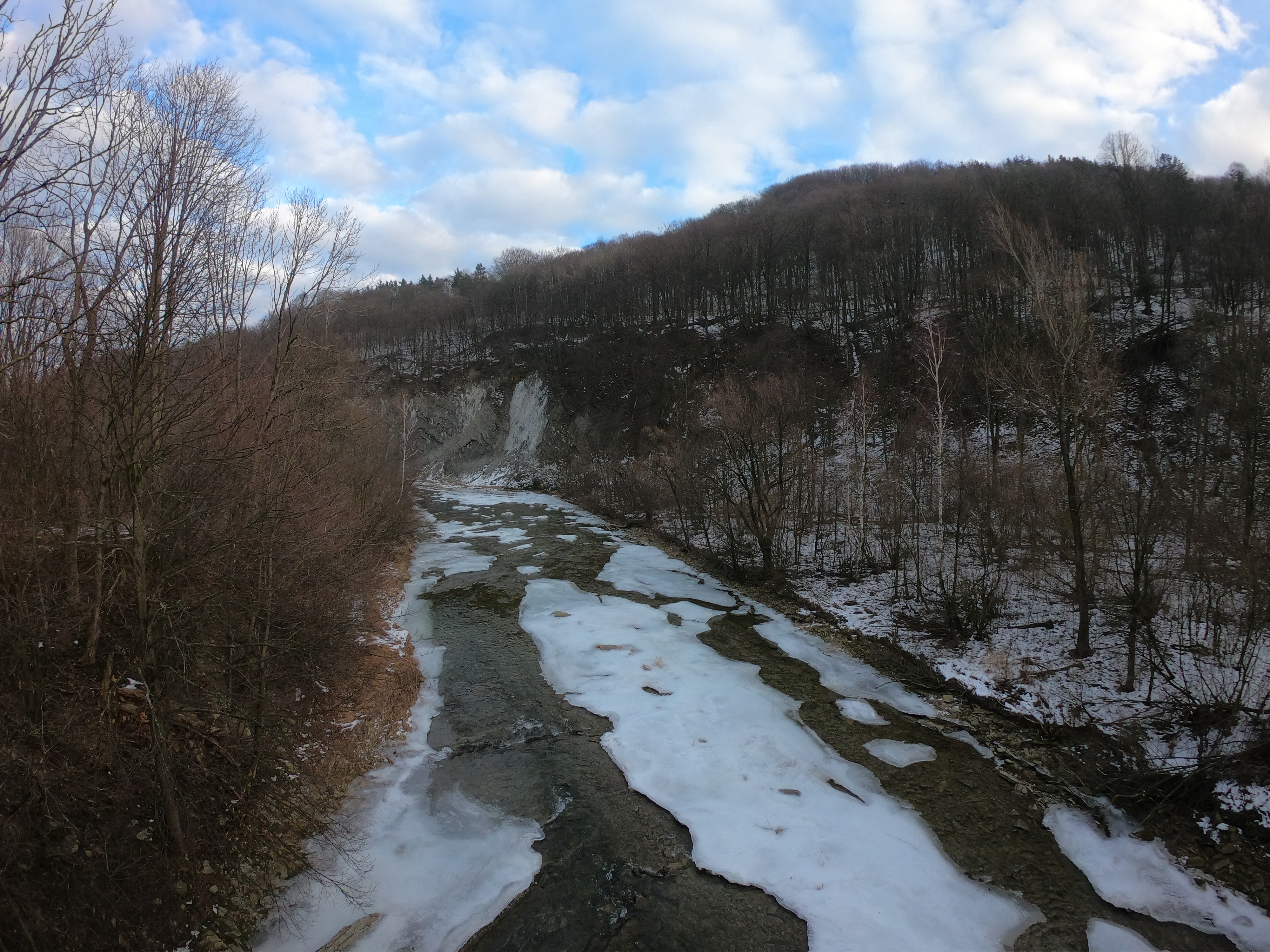
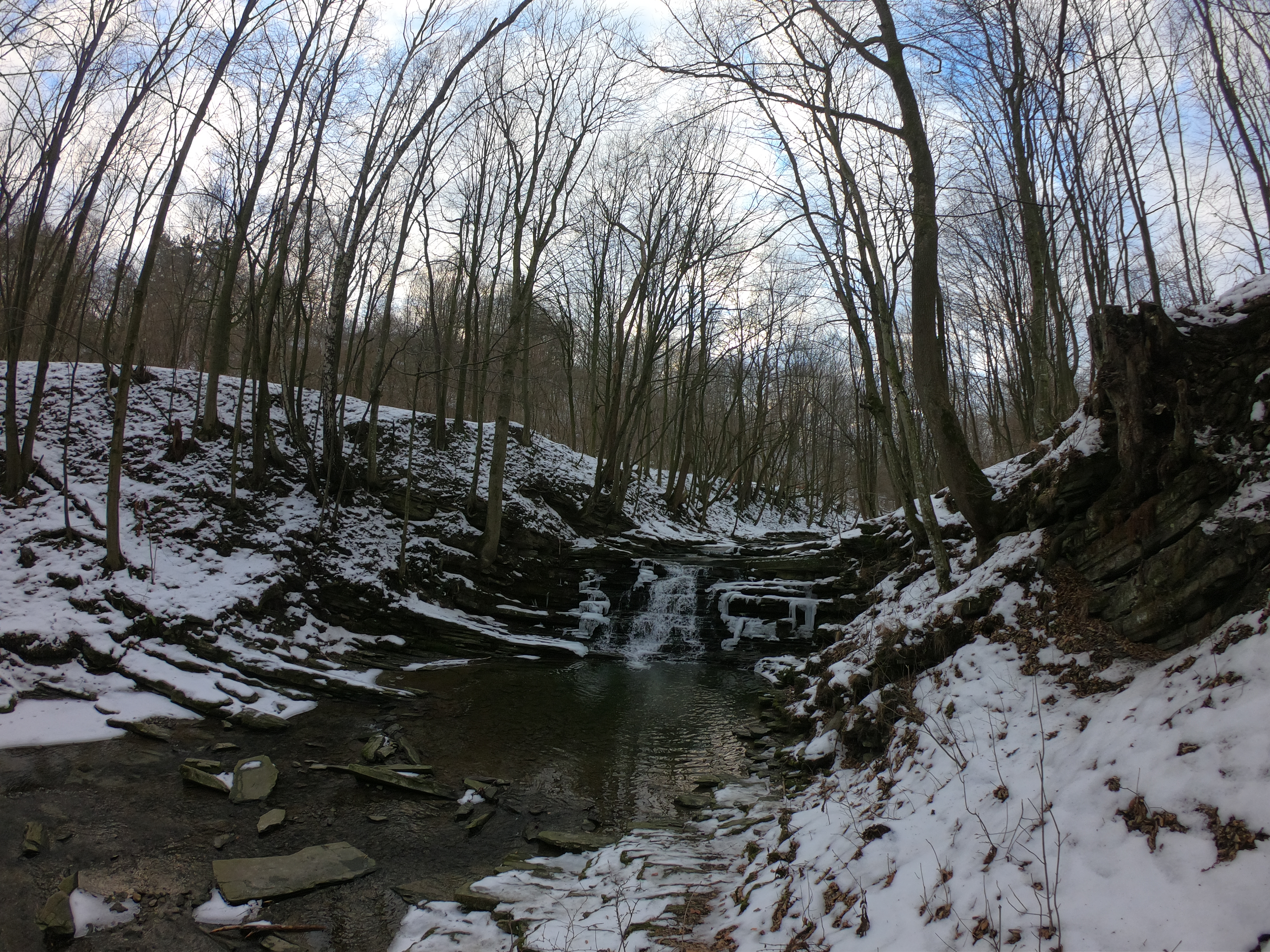
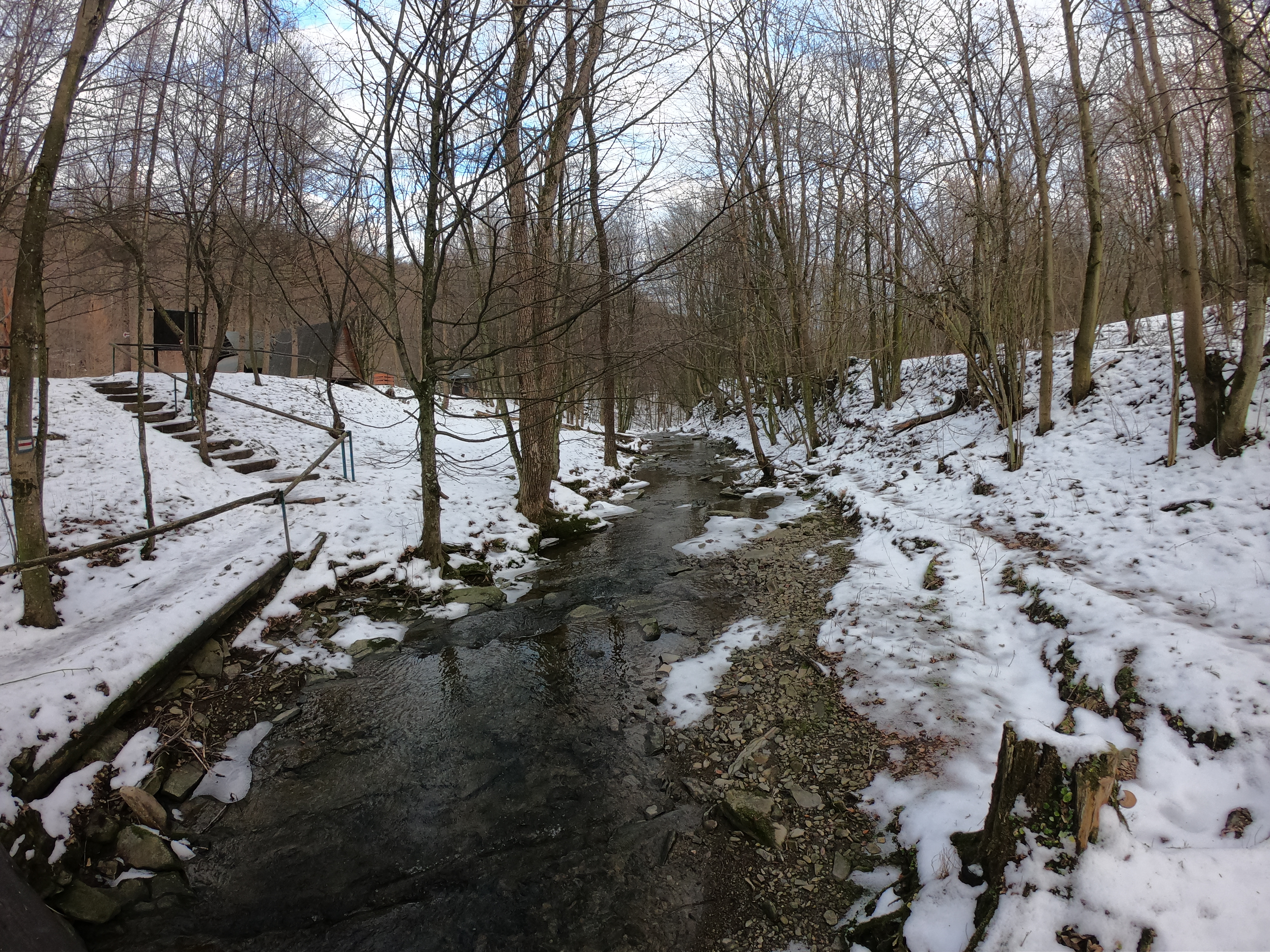
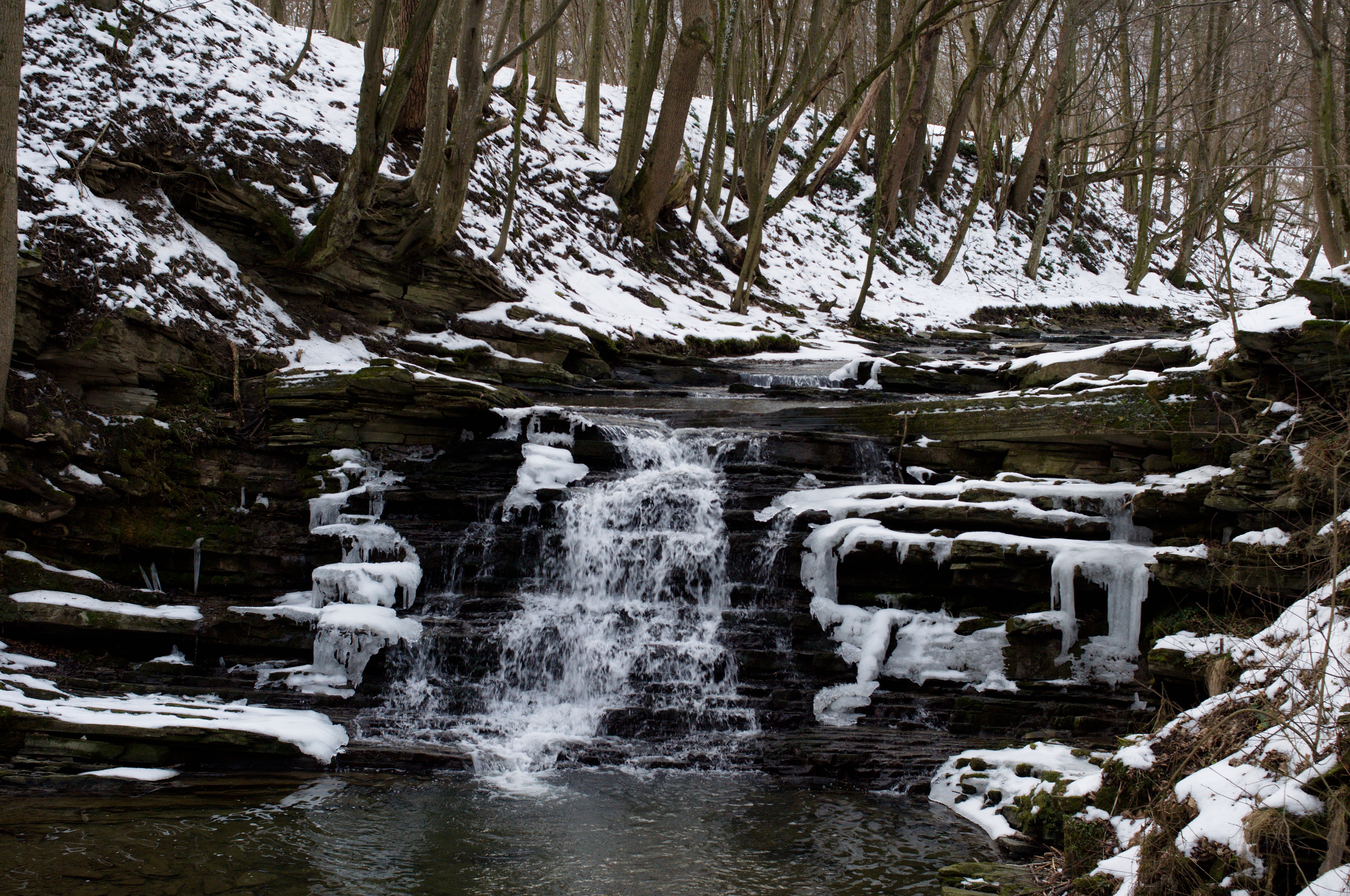
The 32 km long mountain section of the Wisłok River forms one of the most beautiful river valleys. The river has created several water gaps, e.g. in the vicinity of Rudawka Rymanowska, Mymoń, Wisłok Wielki, and Puławy. Waterfalls were formed and sulfur blooms are visible on exposed rock walls of the valley near Rudawka Rymanowska, and there are small self-outflows of crude oil. There is so-called the Olza Wall - the largest opencast of menilite shale in the Polish Carpathians, in the form of a 40-meter wall above the river. In 1978, Wisłok was parted with a dam and Lake Sieniawskie with a capacity of 13 million m3 was created. Currently, chub and perch dominate in the river. Brown trout occurs sporadically, noble crayfish begins to appear. The river gets into the San river nearby Dębno locality.
