
 Polski
 Deutsch
 Slovenský
A former village, located at the foot of Siwarna, Krysowa and Bukowina. Next to Jaworzec other villages: Zawój and Łuch were functioning.
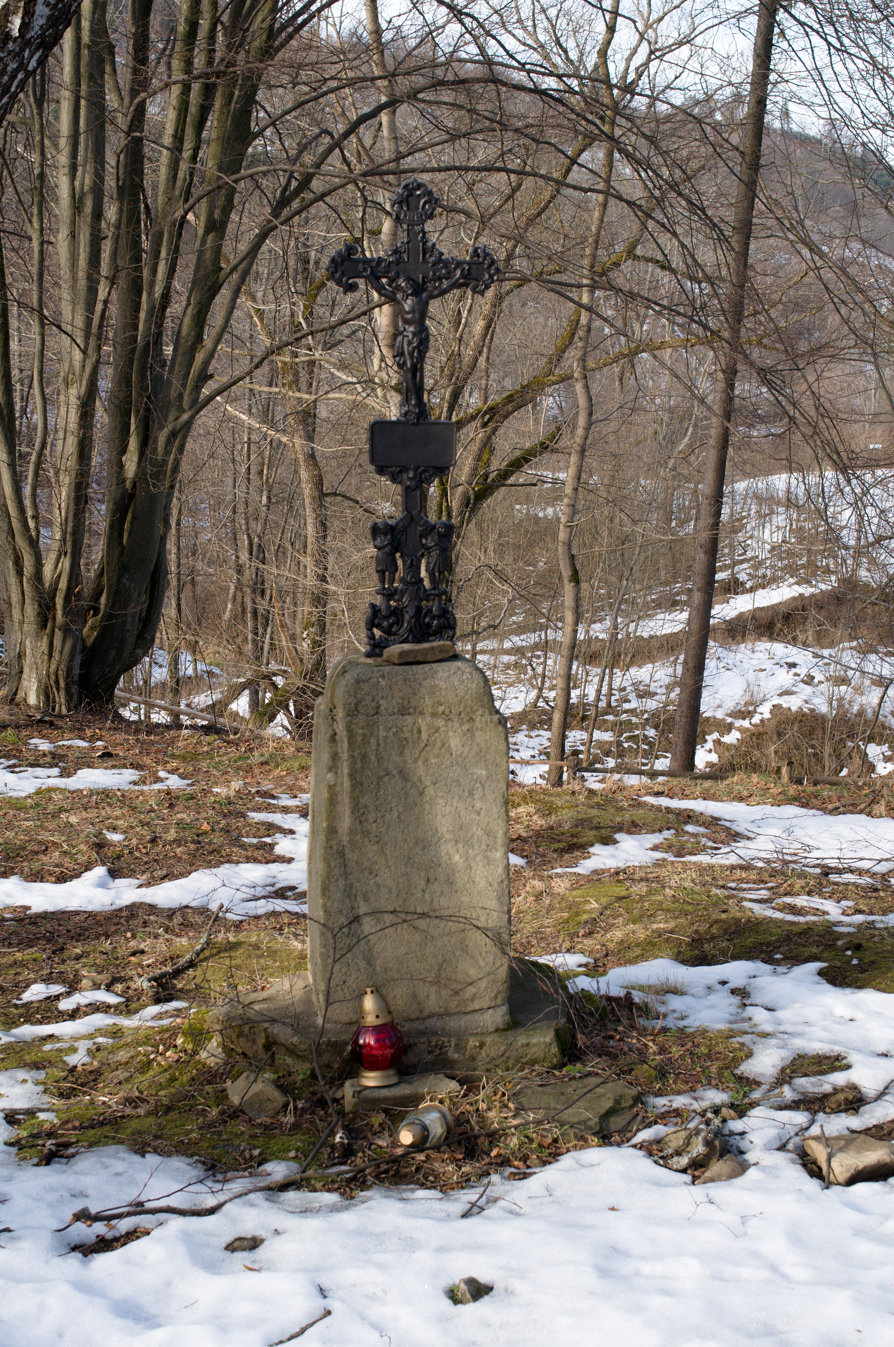
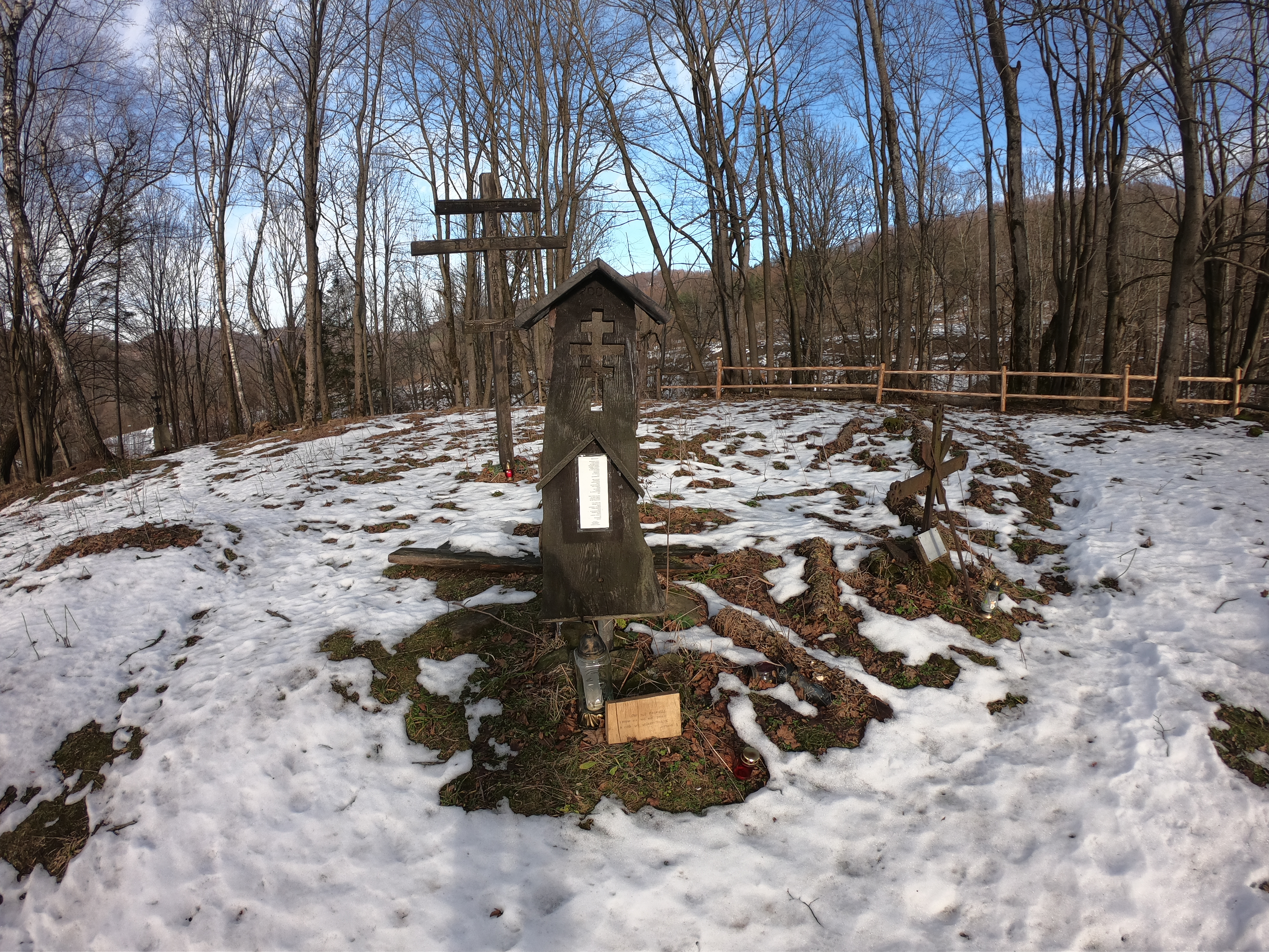
The name of the village (Jaworzec) comes from the sycamore tree name (in Polish: jawor). The first information of the village is from 1580, located under Wallachian law by the Kmits. Residents of Jaworzec were displaced in 1947 as part of the Operation Vistula, and the buildings were burned down. The Orthodox Church of Saint Dymitri from 1846 was also destroyed, after the church to this day survived only a wall base and concrete staircase. Additionally, one can find the remnants of stone cellars, wells, wall bases of Boyko huts in the village. Survived also the sandstone pedestal of the cross funded by the inhabitants around 1898 in memory of the abolition of the feudal service in 1848. The whole is complemented by wild fruit orchards.
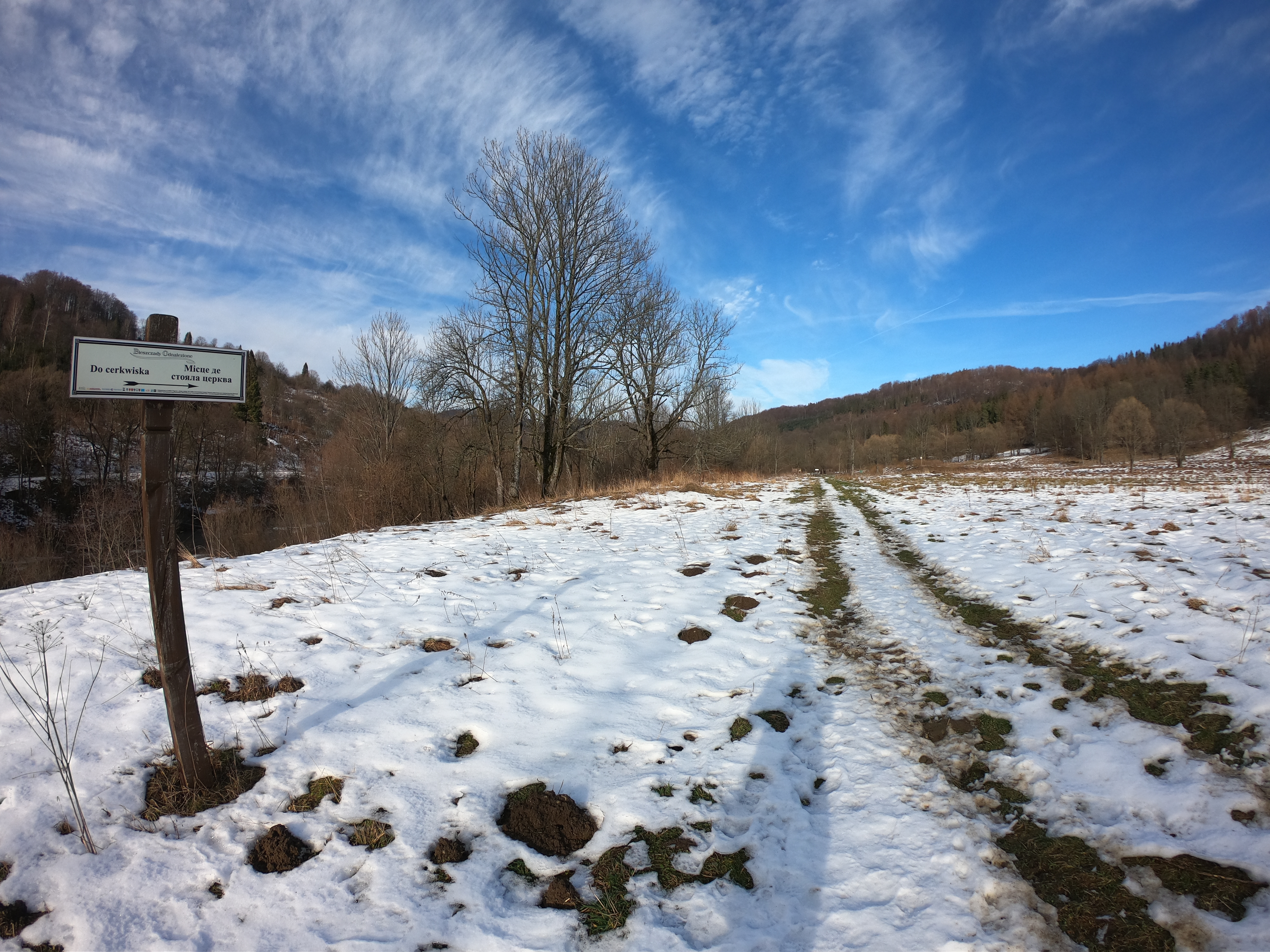
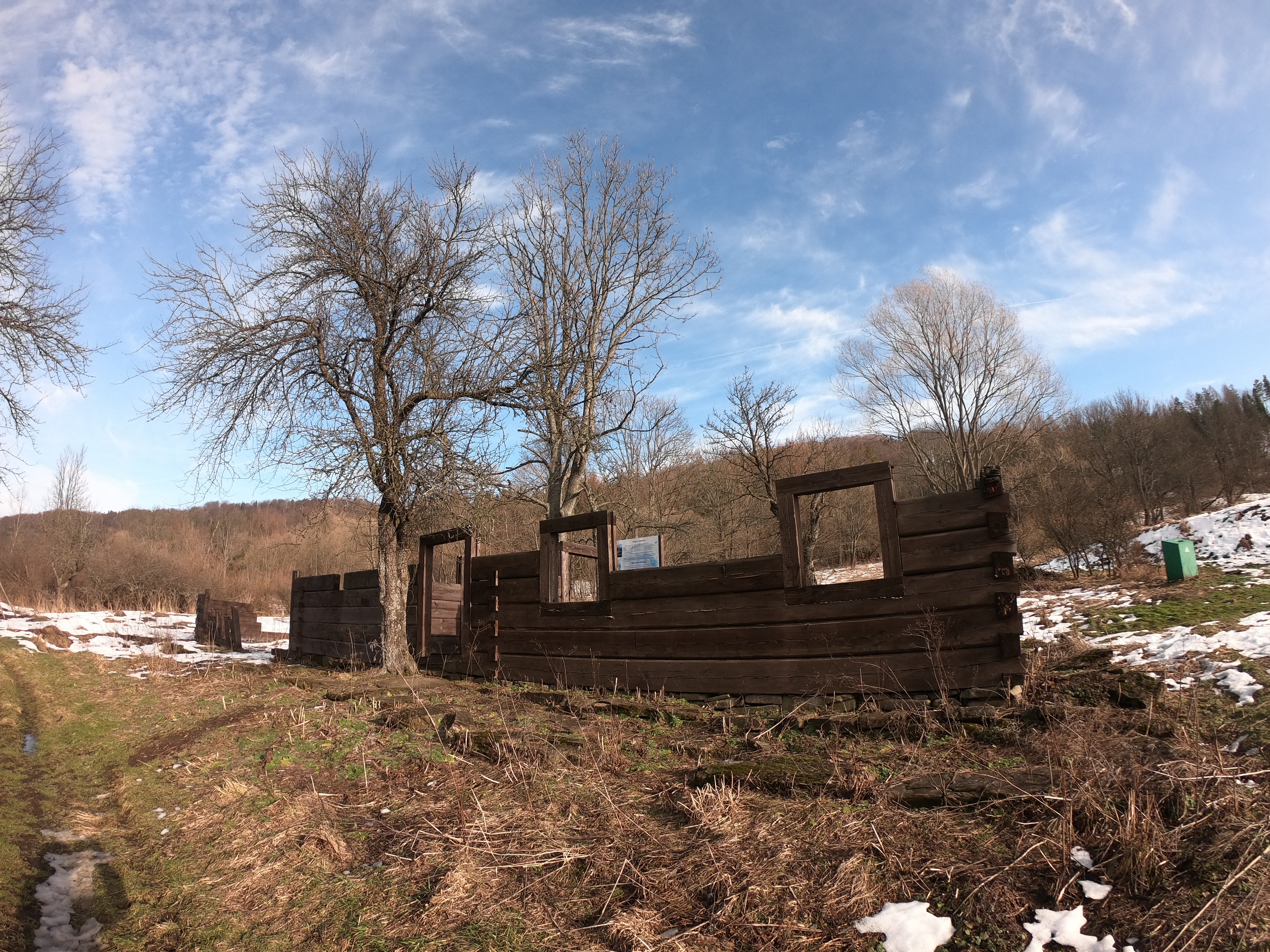
Through these three villages the historical path "Bieszczady Odnalezione" (Bieszczady Rediscovered) in 2012 was led. Partial reconstruction of the hut was made, the former boundaries of the village were identified, a few tombstones, cranes and cribworks of village wells were reconstructed, two cellars were uncovered and partially reconstructed, and appropriate information boards were set up there.
