
 Polski
 Deutsch
 Slovenský
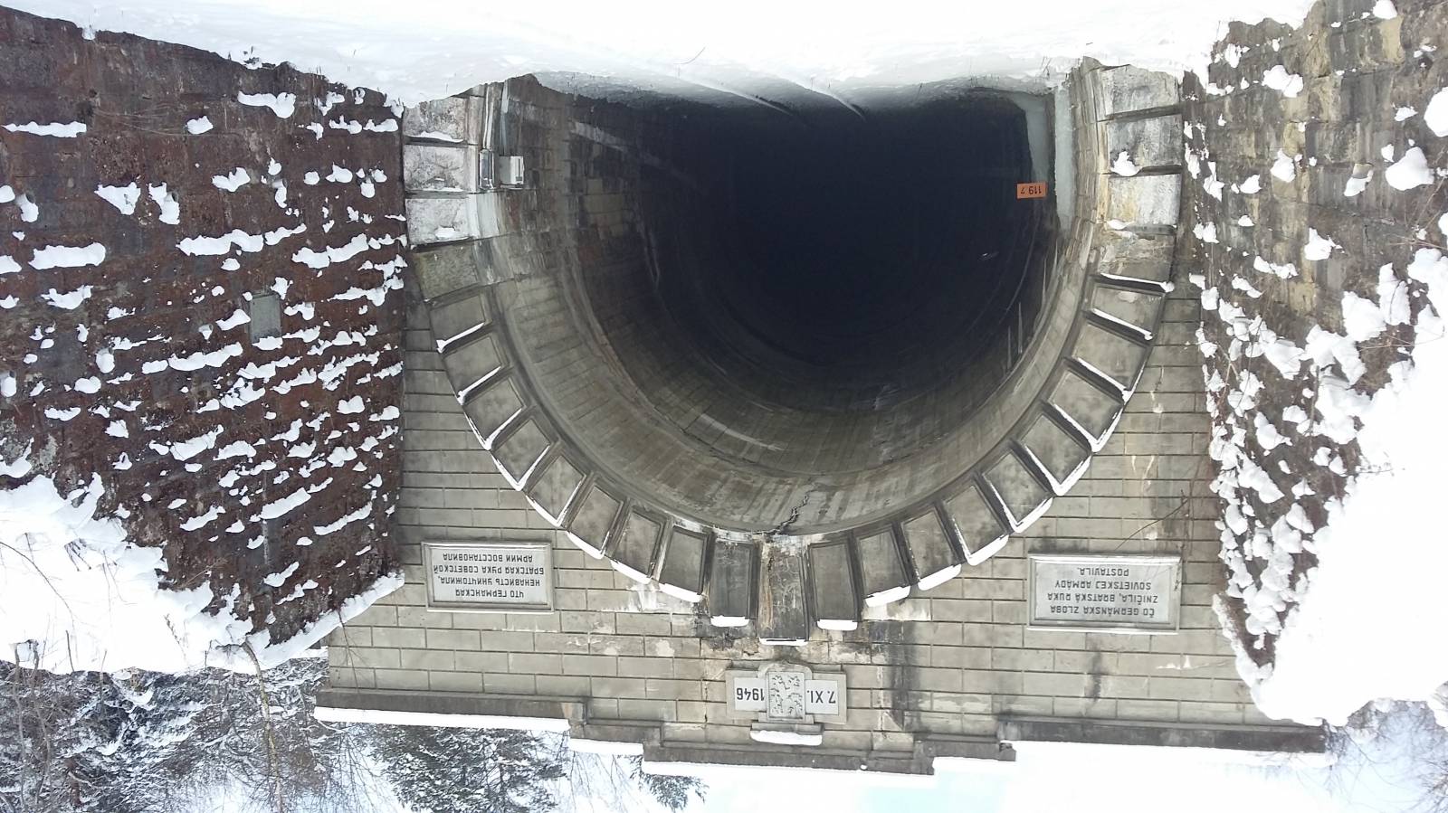
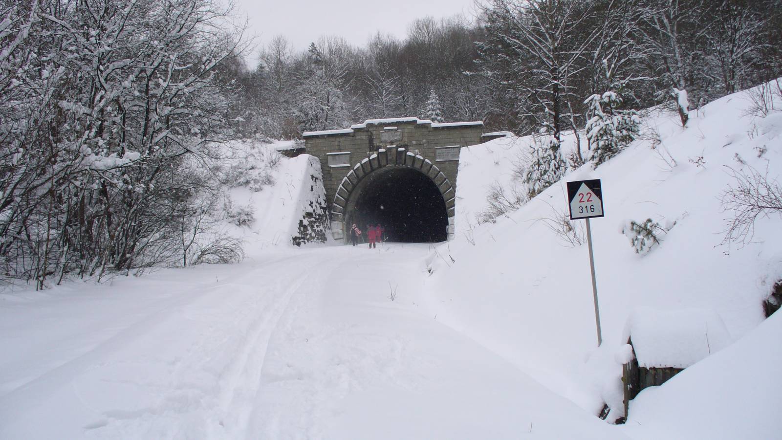
Austria-Hungary decided to build a railway route between Trebišov and Galicia to facilitate the accessibility of Galicia (Poland). The route covered the Carpathian ridge through the Vydranka valley, under the Lupkovský isthmus, to the settlement of Stary Łupków in Galicia. The high elevation required the construction of the route, which clearly climbs the slopes of the peaks, and overcomes the highest part of the ridge through a tunnel with a length of 461 m.
Initially, it was supposed to have up to 750 meters long and indentations 20 meters deep. From 1882 to 1920 the entire route was two-tracked. After the establishment of independent Poland and the Czechoslovak Republic, transport from north-south changed to east-west and the route has never been used again.
The tunnel was damaged during World War I and World War II. Currently the tunnel has been renovated and the route is ready to receive tourists.
