
 Polski
 Deutsch
 Slovenský
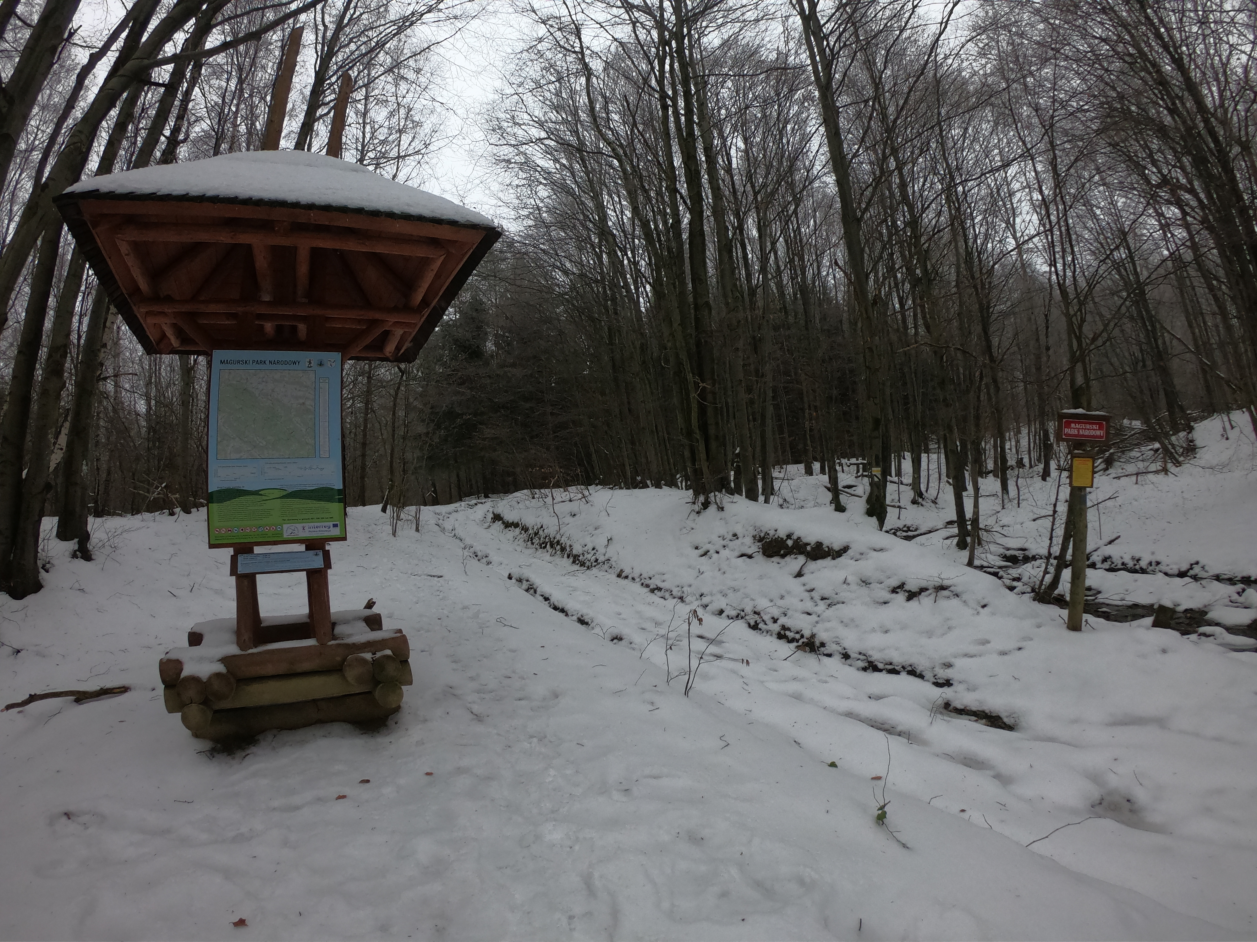
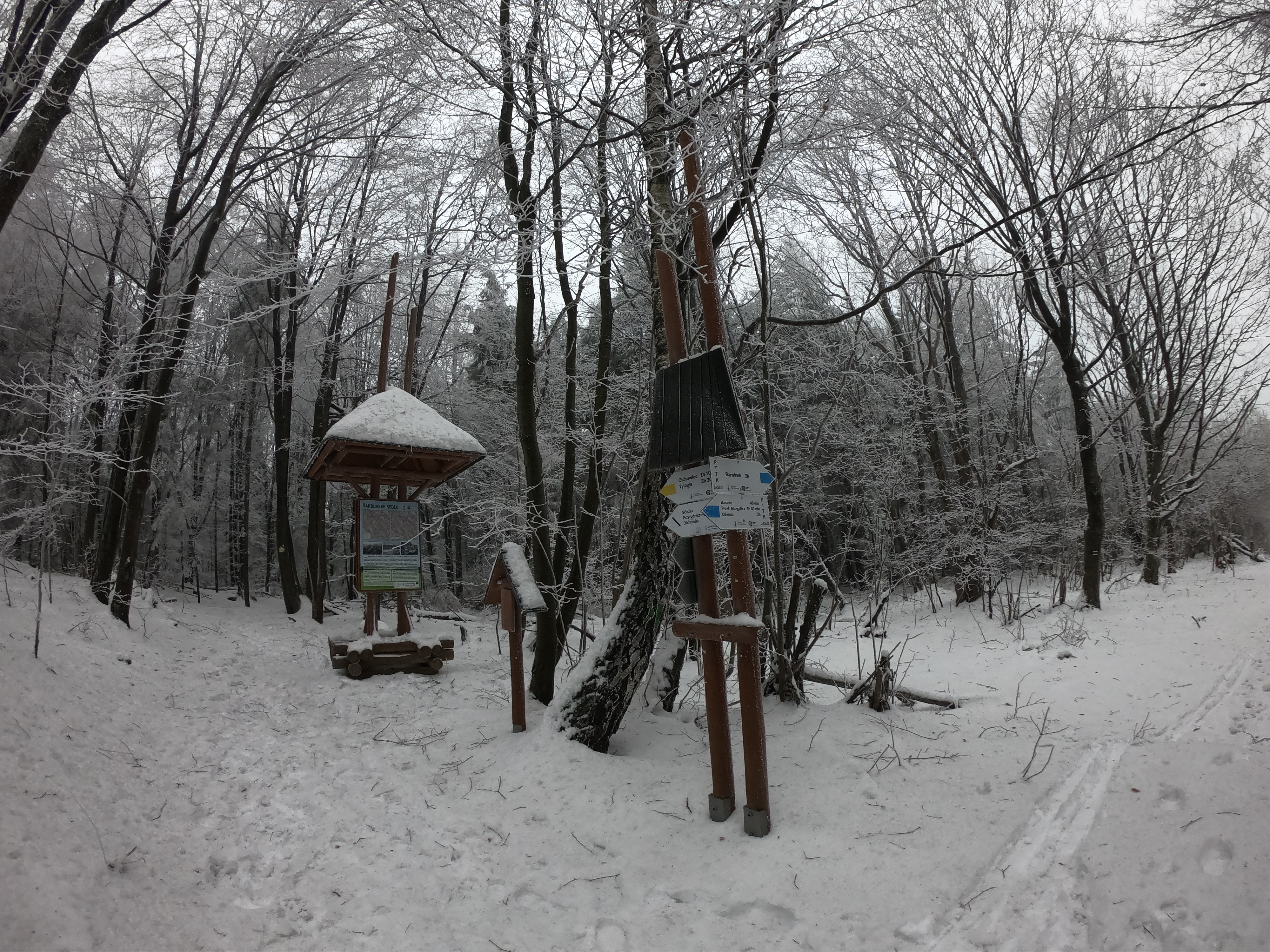
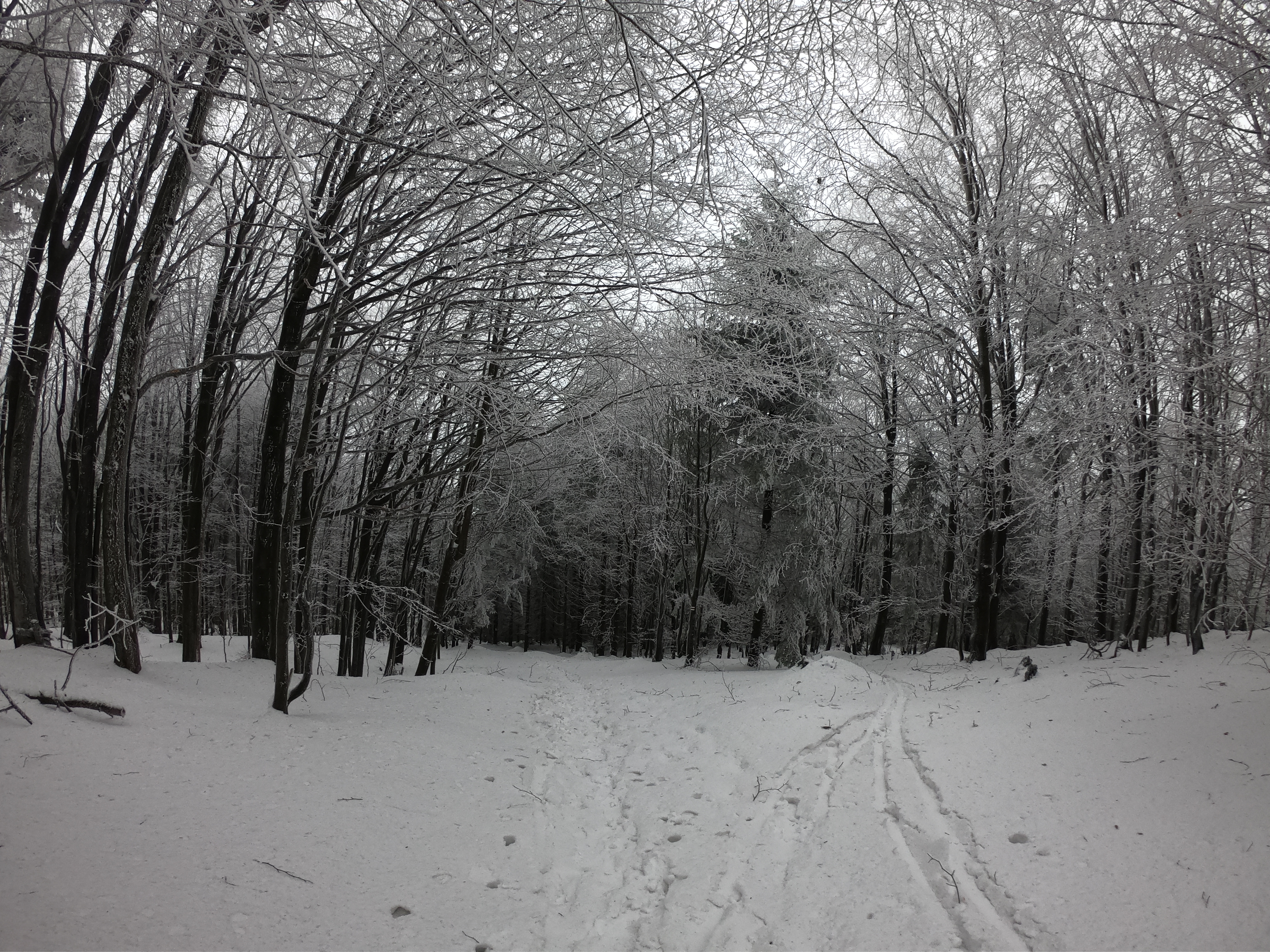
The Magurski National Park is one of the 23 national parks in Poland. It was established in 1995 (it is one of the youngest national parks). The park occupies an area of 194 39 km. The symbol of the park is the lesser spotted eagle. The park is located in the Low Beskids, and its range covers the basin of the upper Wisłoka and the Magura Wątkowska range. The highest peak within the park is Wątkowa (846 m a.s.l.). More than 95% of the park's area is forested, making the Magurski National Park the most wooded national park in Poland (beech, sycamores, firs, and artificially planted pine predominates). The park is protected by the transition area between the eastern and west of the Carpathian Mountains, unique in the Carpathian Mountains. There are two vegetation belts: foothills (to approx. 530 m) and the lower mountain zone. Except for forests, there are also meadows and pastures, remnants of the former Lemko villages, displaced immediately after WWII (such as former villages Żydowskie or Rozstajne). The fauna world is represented by all large predators living in Poland: wolves, bears, and lynxes. The Park management is situated in Krempna, near the Educational Center, and the Museum of Magurski National Park was created.
